Inchicore railway works, Dublin
Map

Map

Facts and practical information
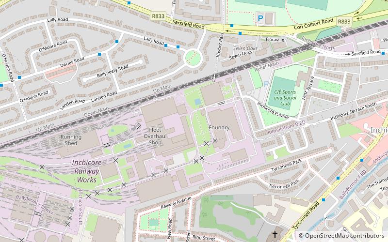
Inchicore Railway Works, also known locally as 'Inchicore' or 'The Works', was founded by the Great Southern & Western Railway in 1846 and emerged to become the major engineering centre for railways in Ireland. Located c. 3km west of Dublin city centre, the works cover an area of approximately 73 acres. ()
Coordinates: 53°20'23"N, 6°19'46"W
Day trips
Inchicore railway works – popular in the area (distance from the attraction)
Nearby attractions include: Kilmainham Gaol, Dublin Zoo, Wellington Monument, Irish Museum of Modern Art.
Frequently Asked Questions (FAQ)
Which popular attractions are close to Inchicore railway works?
Nearby attractions include Richmond Park, Dublin (15 min walk), Goldenbridge Cemetery, Dublin (15 min walk), Irish National War Memorial Gardens, Dublin (16 min walk), Lansdowne Valley Park, Dublin (18 min walk).
How to get to Inchicore railway works by public transport?
The nearest stations to Inchicore railway works:
Bus
Tram
Bus
- Lally Road, Landen Rd • Lines: 79, 79A (4 min walk)
- Sarsfield Road • Lines: 40, 79, 79A (5 min walk)
Tram
- Blackhorse • Lines: Luas Red Line (10 min walk)
- Drimnagh • Lines: Luas Red Line (15 min walk)


