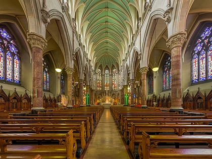
St Catherine's Church, Dublin
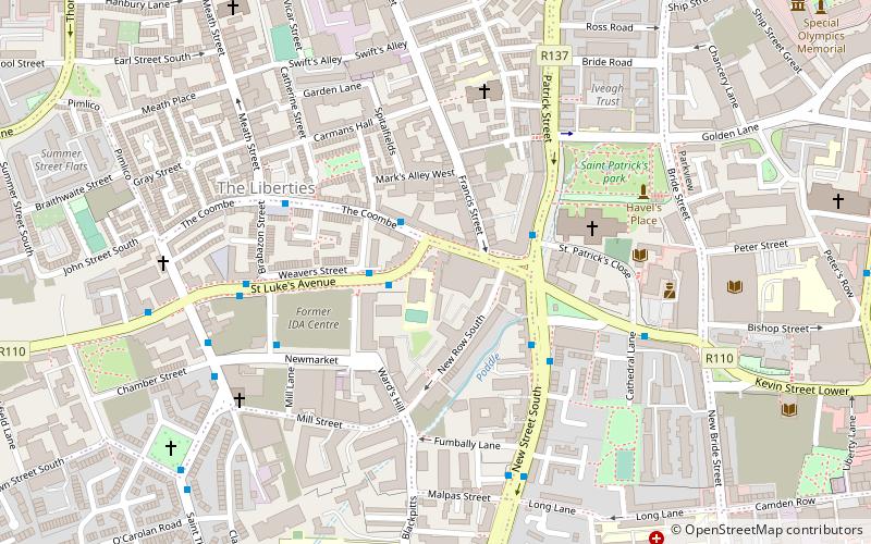
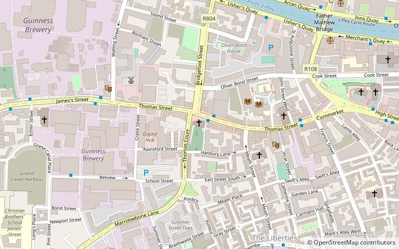
Map
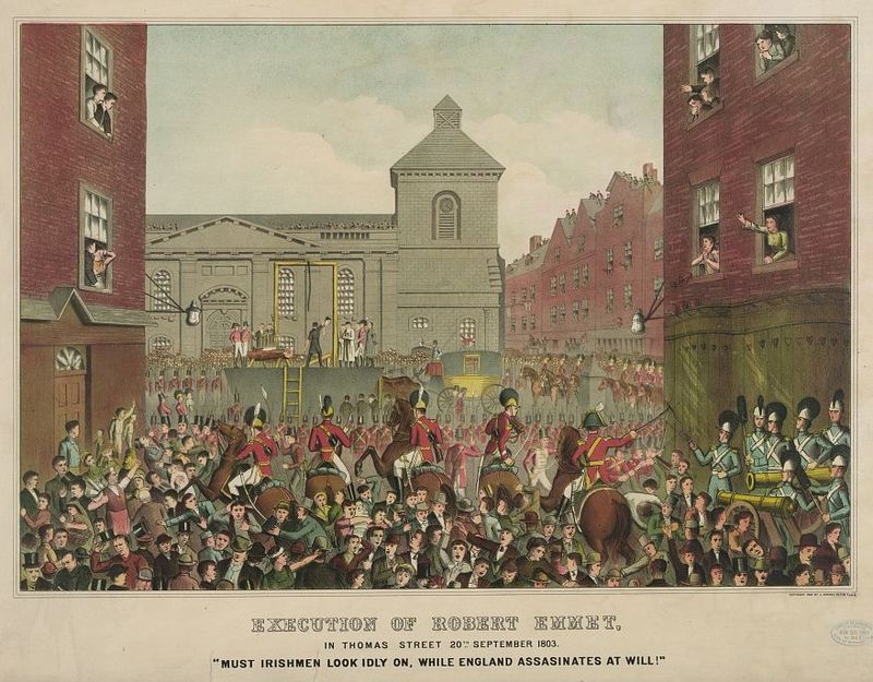
Gallery
Facts and practical information
Coordinates: 53°20'34"N, 6°16'52"W
Day trips
St Catherine's Church – popular in the area (distance from the attraction)
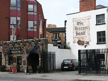
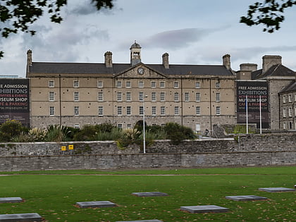
Nearby attractions include: Guinness Storehouse, The Brazen Head, Dublinia, Croppies' Acre.
Frequently Asked Questions (FAQ)
Which popular attractions are close to St Catherine's Church?
Nearby attractions include Thomas Street, Dublin (1 min walk), St Catherine's Church, Dublin (4 min walk), Vicar Street, Dublin (4 min walk), St Patricks Tower, Dublin (4 min walk).
How to get to St Catherine's Church by public transport?
The nearest stations to St Catherine's Church:
Bus
Tram
Train
Bus
- Usher's Quay • Lines: 145, 25d, 25x, 26, 37, 39, 39a, 51d, 52, 69, 69x, 70, 747, 79, 79A, C1, C2, C3, C4 (6 min walk)
- Smithfield, Ocean House • Lines: 26, 79, 79A (7 min walk)
Tram
- Stop • Lines: Luas Red Line (11 min walk)
- Smithfield • Lines: Luas Red Line (9 min walk)
Train
- Heuston (15 min walk)
- Dublin Heuston (16 min walk)


