Caher
Map
![Caher location map](https://tzmedia.b-cdn.net/media/images/static-maps/ie/51_9944_-9_75867.jpg)
Map
![Caher location map](https://tzmedia.b-cdn.net/media/images/static-maps/ie/51_9944_-9_75867.jpg)
Facts and practical information
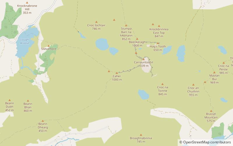
Caher or Caher East Top at 1,000 metres, is the third-highest peak in Ireland, on the Irish Arderin and Vandeleur-Lynam classifications. It is part of the MacGillycuddy's Reeks in County Kerry. ()
Location
Kerry
ContactAdd
Social media
Add
Day trips
Caher – popular in the area (distance from the attraction)
Nearby attractions include: Carrauntoohil, Beenkeragh, The Bones, Caher West Top.