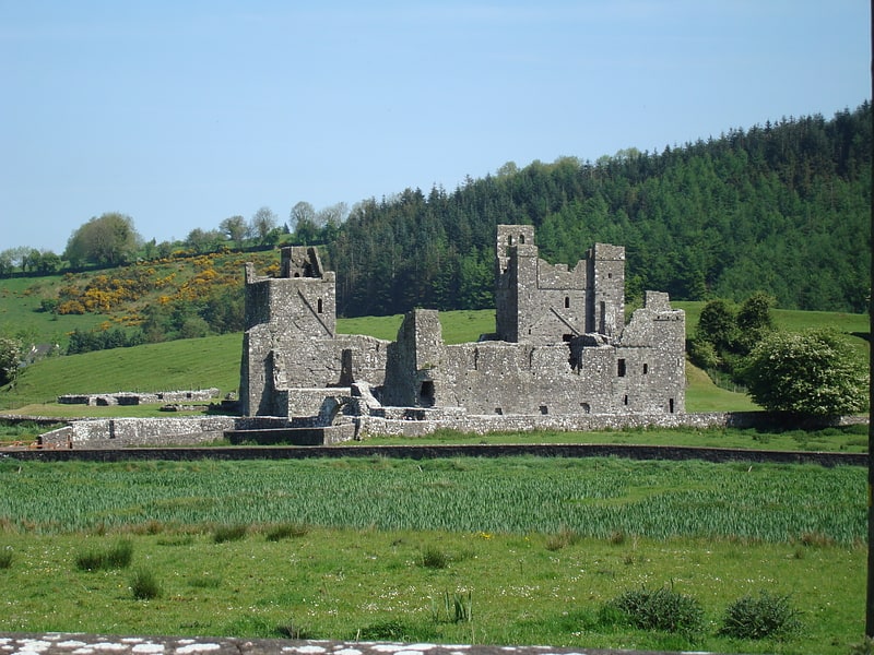
St Feichin's Mill, Fore
Map
Facts and practical information
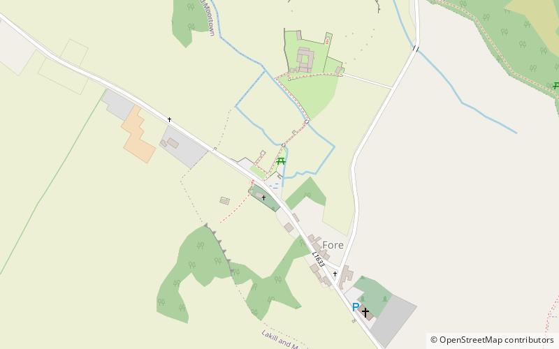
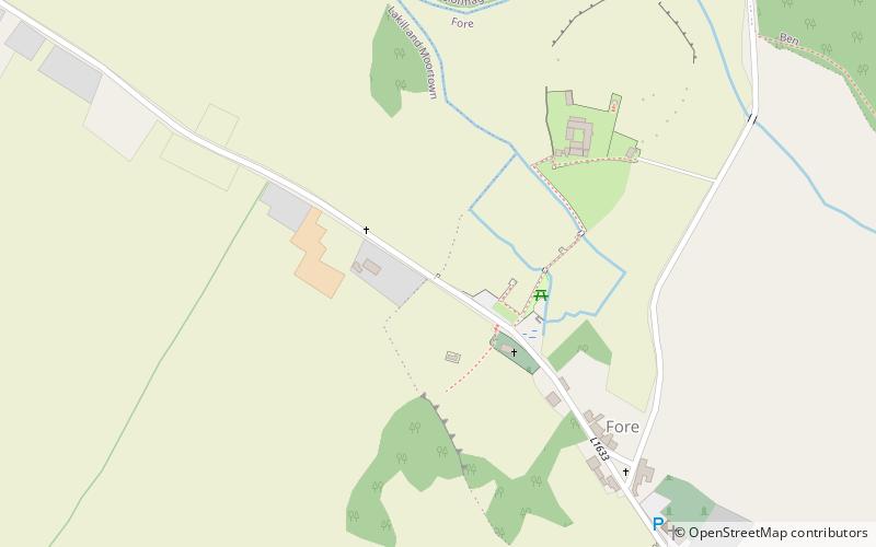
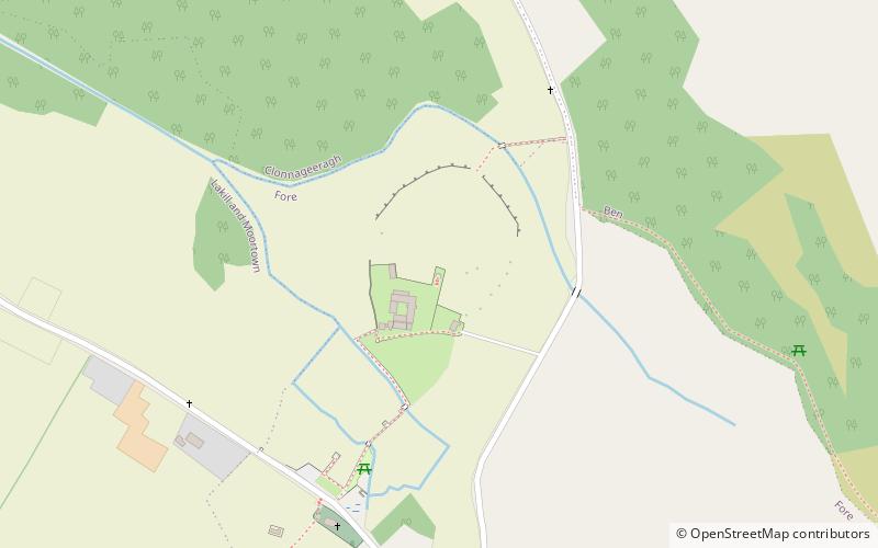
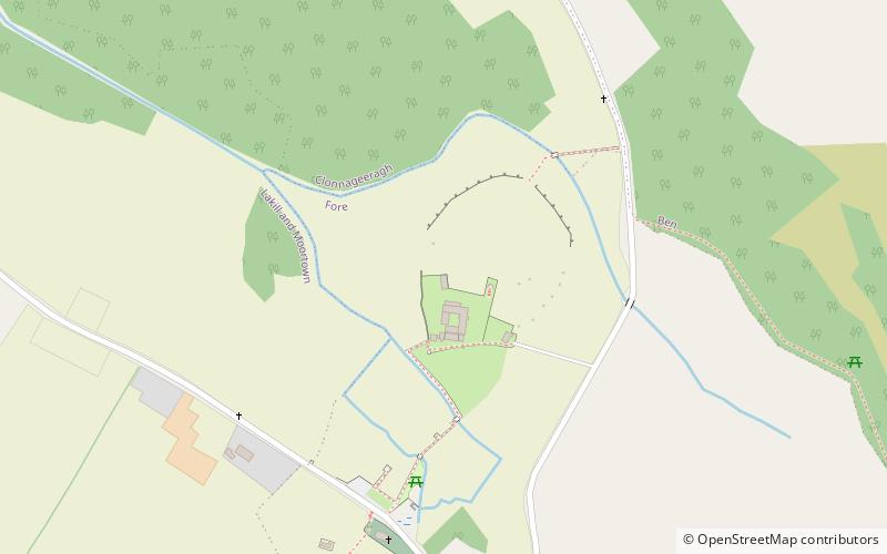
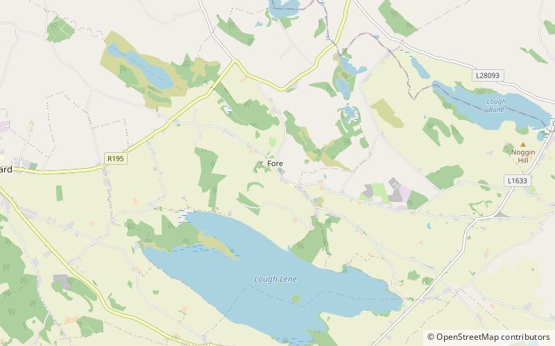
St Feichin's Mill is a place located in Fore (Westmeath county) and belongs to the category of ruins.
It is situated at an altitude of 272 feet, and its geographical coordinates are 53°40'54"N latitude and 7°13'41"W longitude.
Among other places and attractions worth visiting in the area are: North West Gate (ruins, 3 min walk), Fore Abbey (historical place, 4 min walk), Guest House (ruins, 5 min walk).
Coordinates: 53°40'54"N, 7°13'41"W
Address
Fore
ContactAdd
Social media
Add
Day trips

Frequently Asked Questions (FAQ)
Which popular attractions are close to St Feichin's Mill?
Nearby attractions include North West Gate, Fore (3 min walk), Fore Abbey, Fore (4 min walk), Guest House, Fore (5 min walk), Columbarium, Fore (5 min walk).