Oughaval
Map
Map

Facts and practical information
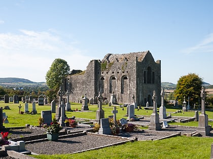
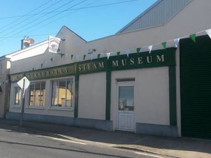
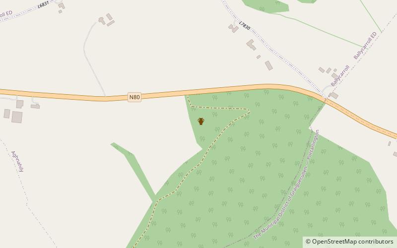
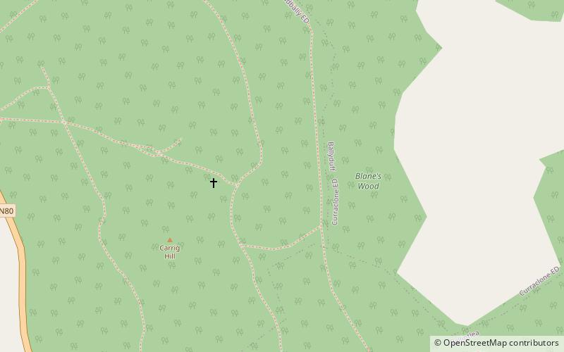
Oughaval, sometimes called Oakvale, is a townland in the civil parish of Stradbally, County Laois, in Ireland. It is the site of a sixth-century monastic settlement. ()
Coordinates: 53°0'10"N, 7°7'3"W
Location
Laoighis
ContactAdd
Social media
Add
Day trips
Oughaval – popular in the area (distance from the attraction)
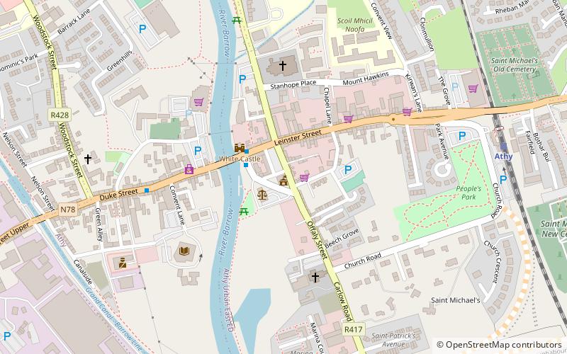
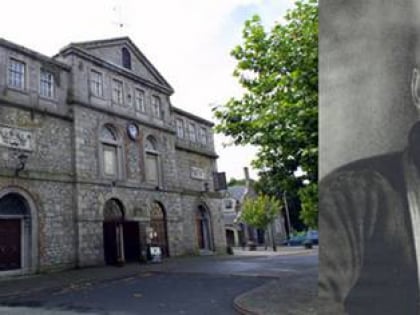
Nearby attractions include: White's Castle, Dunamase, Woodstock Castle, Athy Priory.
