Tievebaun Mountain
Map
Facts and practical information
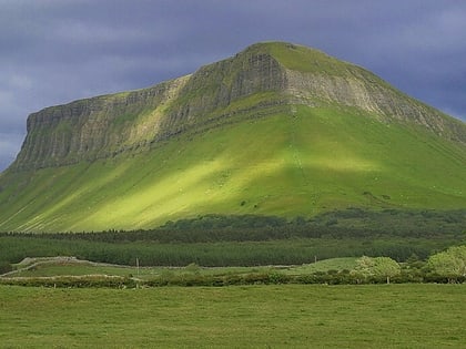
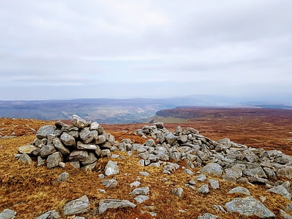
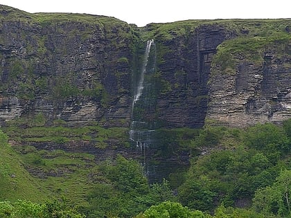
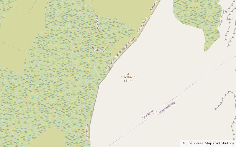
Tievebaun, also known as Taobh Bán in Irish, is a mountain located in County Leitrim. Its classifications include: "Arderin" & "Vandeleur-Lynam". The height of the mountain is 611 m. The mountain is most notable for its cliffs as well as the pinnacles which are located on the eastern and northern sides, such as Eagle's Rock. ()
Elevation: 2005 ftProminence: 348 ftCoordinates: 54°23'50"N, 8°21'28"W
Location
Leitrim
ContactAdd
Social media
Add
Day trips
Tievebaun Mountain – popular in the area (distance from the attraction)
Nearby attractions include: Glencar Lough, Truskmore, Creevykeel Court Tomb, Benbulbin.


