Derrymeeleen

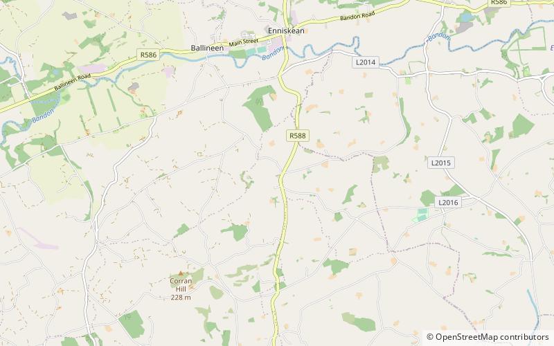
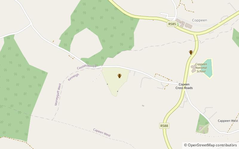
Map
Facts and practical information
Derrymeeleen is a townland in the civil parish of Desertserges, County Cork, Ireland. The total population in 2011 for this townland was 70, of which males numbered 40 and females were 30. The total housing stock was 21 of which vacant households numbered 0. It is situated at a height of more than 100 metres above the River Bandon. ()
Elevation: 331 ft a.s.l.Coordinates: 51°42'59"N, 8°56'1"W
Location
Cork
ContactAdd
Social media
Add
Day trips
Derrymeeleen – popular in the area (distance from the attraction)
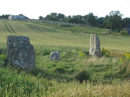
Nearby attractions include: Ballinacarriga Castle, Templebryan Stone Circle, Connagh, Cahervagliar.


