Ellenfield Park, Dublin
Map
Facts and practical information
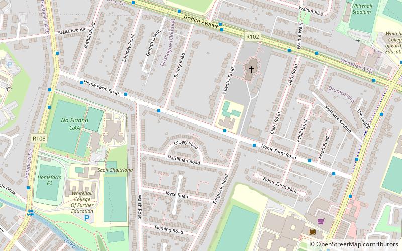
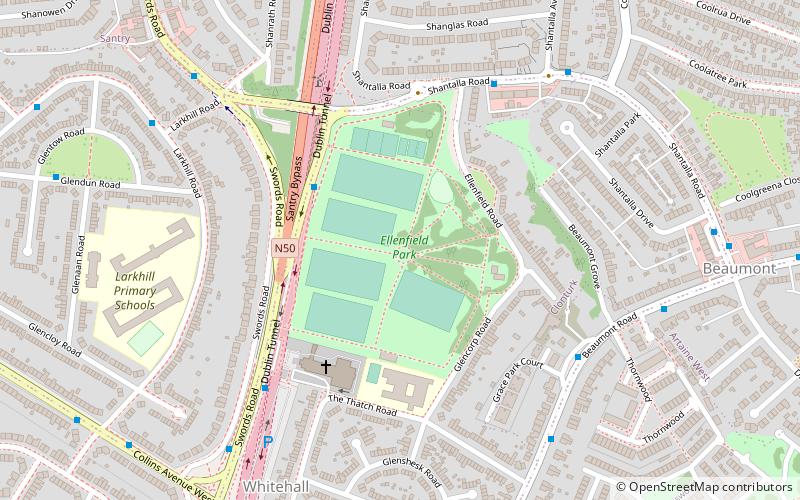
Ellenfield Park is a public park in Whitehall, Dublin, managed by Dublin City Council Parks department. ()
Elevation: 148 ft a.s.l.Coordinates: 53°23'9"N, 6°14'26"W
Day trips
Ellenfield Park – popular in the area (distance from the attraction)
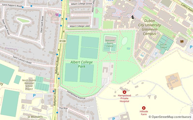
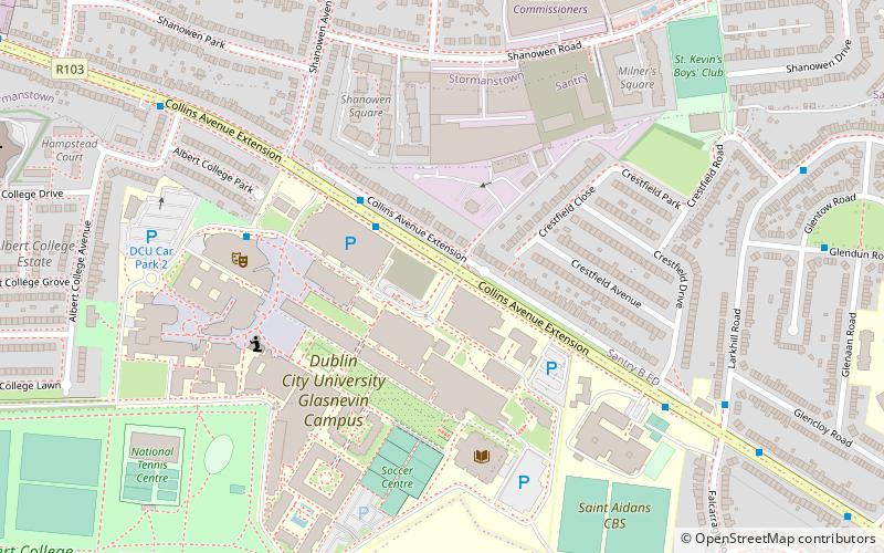
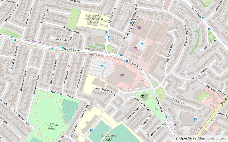
Nearby attractions include: Omni Park, Northside Shopping Centre, Albert College Park, DCU.
Frequently Asked Questions (FAQ)
Which popular attractions are close to Ellenfield Park?
Nearby attractions include Coolock, Dublin (7 min walk), DCU, Dublin (16 min walk), The Helix, Dublin (20 min walk), Albert College Park, Dublin (24 min walk).
How to get to Ellenfield Park by public transport?
The nearest stations to Ellenfield Park:
Bus
Bus
- #1641 Swords Road, Shanrath Road • Lines: 1, 41c (3 min walk)
- #1642 Swords Road, Whitehall Church • Lines: 1 (5 min walk)


