Temple Hill
Map

Map

Facts and practical information
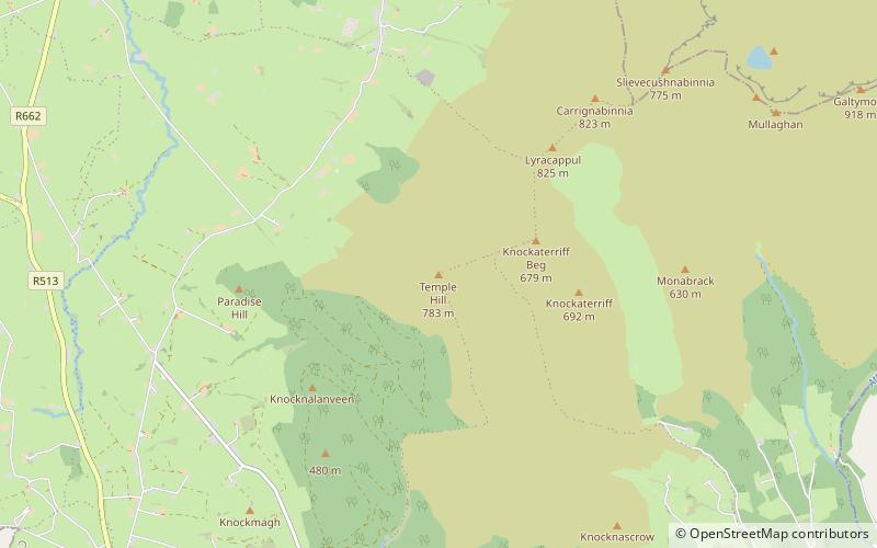
Temple Hill is a mountain in the Galty Mountains, in County Limerick, Ireland. In the Bronze Age it was a place of worship. ()
Elevation: 2569 ftCoordinates: 52°20'54"N, 8°14'43"W
Location
Limerick
ContactAdd
Social media
Add
Day trips
Temple Hill – popular in the area (distance from the attraction)
Nearby attractions include: Galtymore, Lyracappul, Moor Abbey, Galtee Mountains.


