Knockmealdown Mountains
Map
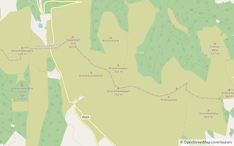
Map

Facts and practical information
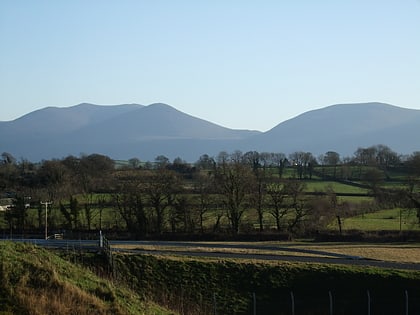
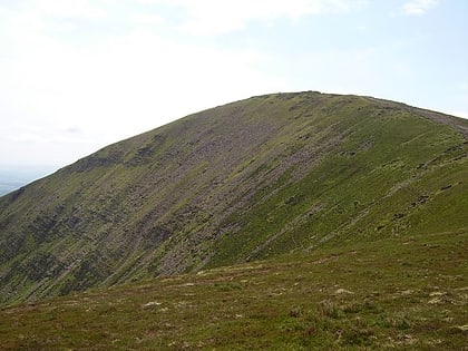
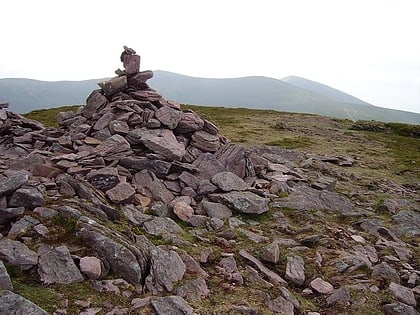
The Knockmealdown Mountains is a mountain range located on the border of counties Tipperary and Waterford in Ireland, running east and west between the two counties. The highest peak of the range is Knockmealdown, in County Waterford. On the western side of the summit, the range is crossed by a high pass called ‘The Vee’ through which runs the old mail coach road from Lismore to Clogheen. ()
Location
Waterford
ContactAdd
Social media
Add
Day trips
Knockmealdown Mountains – popular in the area (distance from the attraction)
Nearby attractions include: Mount Melleray Abbey, Knockmealdown, Sugarloaf Hill, Ardfinnan Castle.
