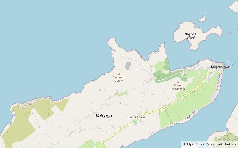
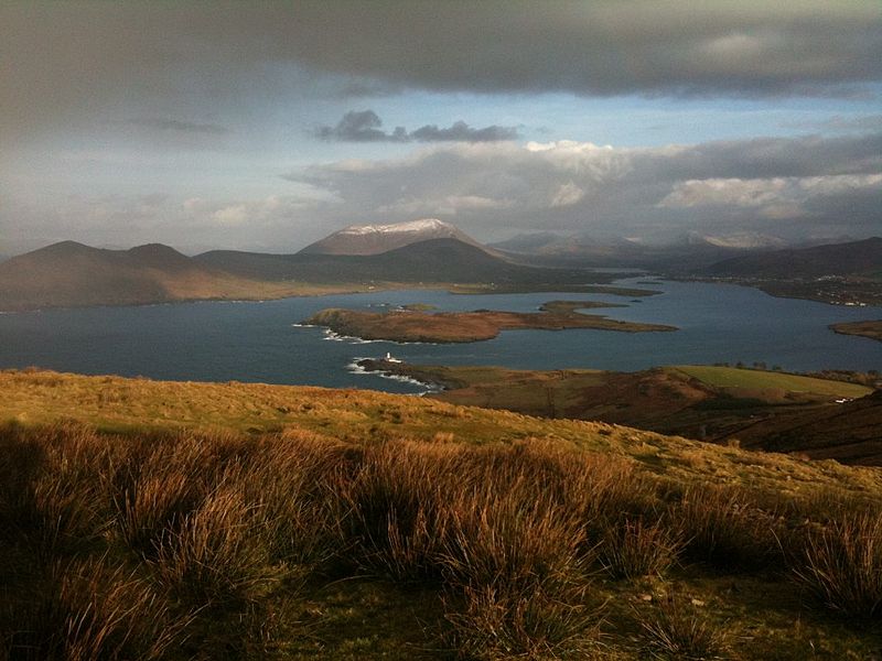
Geokaun, Valentia Island

Gallery (2)
Map
Map
Gallery
Facts and practical information
Geokaun Mountain is the highest mountain on Valentia Island, County Kerry. ()
Elevation: 873 ftProminence: 873 ftCoordinates: 51°55'23"N, 10°20'49"W
Address
Valentia Island
ContactAdd
Social media
Add
Day trips