Glen of the Downs
Map

Map

Facts and practical information
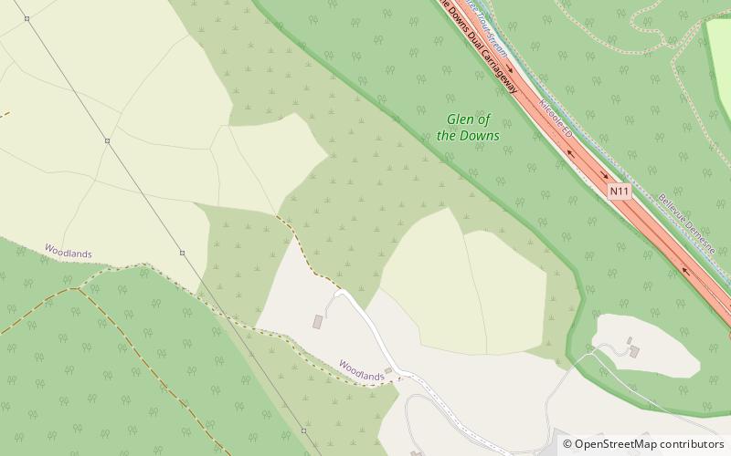
The Glen of the Downs is a 2 km long wooded glacial valley with steep sides rising to almost 250m on the east coast of Ireland. It contains a designated Nature Reserve comprising 59 ha, and is a Special Area of Conservation. ()
Coordinates: 53°7'60"N, 6°7'8"W
Location
Wicklow
ContactAdd
Social media
Add
Day trips
Glen of the Downs – popular in the area (distance from the attraction)
Nearby attractions include: Powerscourt Estate, Bray Head, Druids Glen, Great Sugar Loaf.


