Shandon Street, Cork
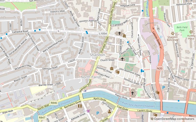
Map

Map

Facts and practical information
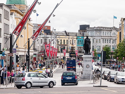
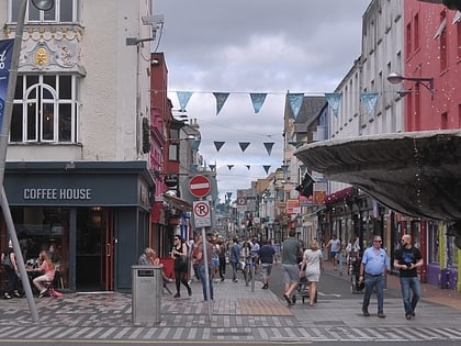
Shandon Street, formerly known as Mallow Lane, is a street in the Shandon area of Cork City, Ireland and is a retail area on the North-Side of Cork city. ()
Length: 1312 ftCoordinates: 51°54'12"N, 8°28'41"W
Day trips
Shandon Street – popular in the area (distance from the attraction)
Nearby attractions include: St Patrick's Street, Crawford Art Gallery, Oliver Plunkett Street, Parnell Place.
Frequently Asked Questions (FAQ)
Which popular attractions are close to Shandon Street?
Nearby attractions include Shandon, Cork (1 min walk), Cork Butter Museum, Cork (2 min walk), Church of St Anne, Cork (2 min walk), Firkin Crane, Cork (3 min walk).
How to get to Shandon Street by public transport?
The nearest stations to Shandon Street:
Bus
Train
Bus
- Sheares Street • Lines: 208, 237, 40 (10 min walk)
- bus 205 to train • Lines: 208 (10 min walk)
Train
- Cork Kent (21 min walk)


