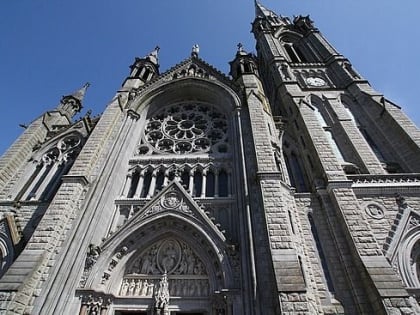
Fartha
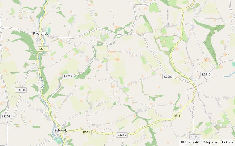
Map
Facts and practical information
Fartha is a small townland in south County Cork, Ireland. Fartha consists of 454 acres of farm land, predominantly used for tillage. The origins of the townland are believed to be related to a burial place, land of tombs and graves. There is a ringfort and a famine village in the townland. ()
Elevation: 348 ft a.s.l.Coordinates: 51°45'30"N, 8°27'3"W
Location
Cork
ContactAdd
Social media
Add
Day trips
Fartha – popular in the area (distance from the attraction)
Nearby attractions include: Charles Fort, James's Fort, Desmond Castle, Castlepark.


