Lecarrow Canal

Gallery (1)
Map
Map
Facts and practical information
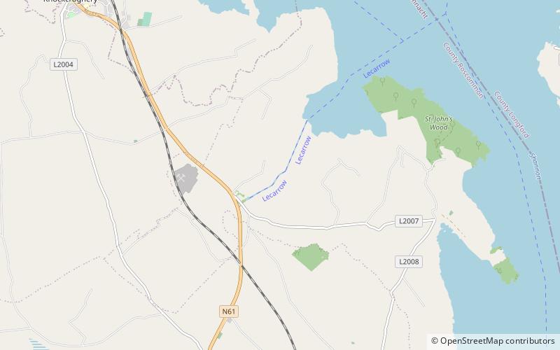
The Lecarrow Canal is a 1.5-kilometre navigable canal in County Roscommon, Ireland, connecting the village of Lecarrow to Lough Ree. Constructed in the 1840s to carry limestone from a quarry to Athlone for construction projects by the Shannon Commissioners, it first fell into disuse after 17 years but was cleaned up in 1889 and was dredged in the 1960s by the Office of Public Works. ()
Length: 4921 ftCoordinates: 53°32'60"N, 8°2'37"W
Location
Roscommon
ContactAdd
Social media
Add
Day trips


