Lough Gur
Map

Gallery

Facts and practical information
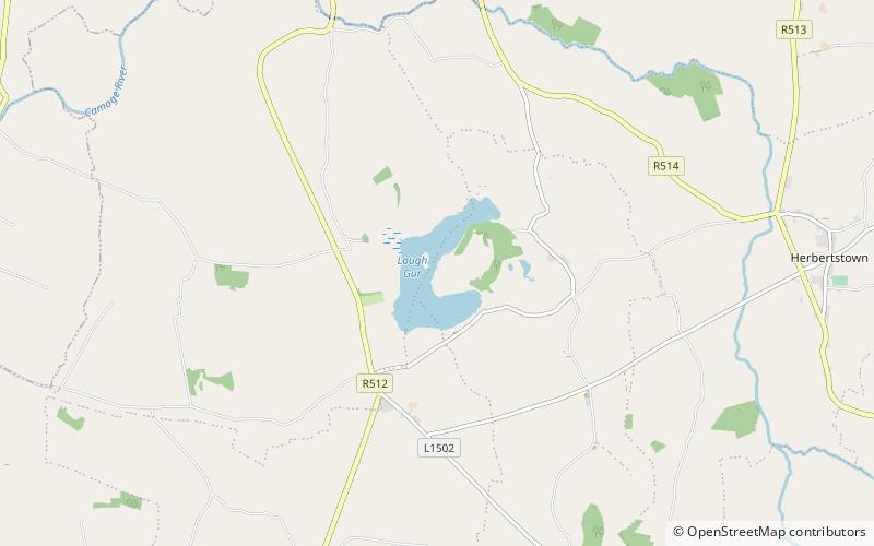
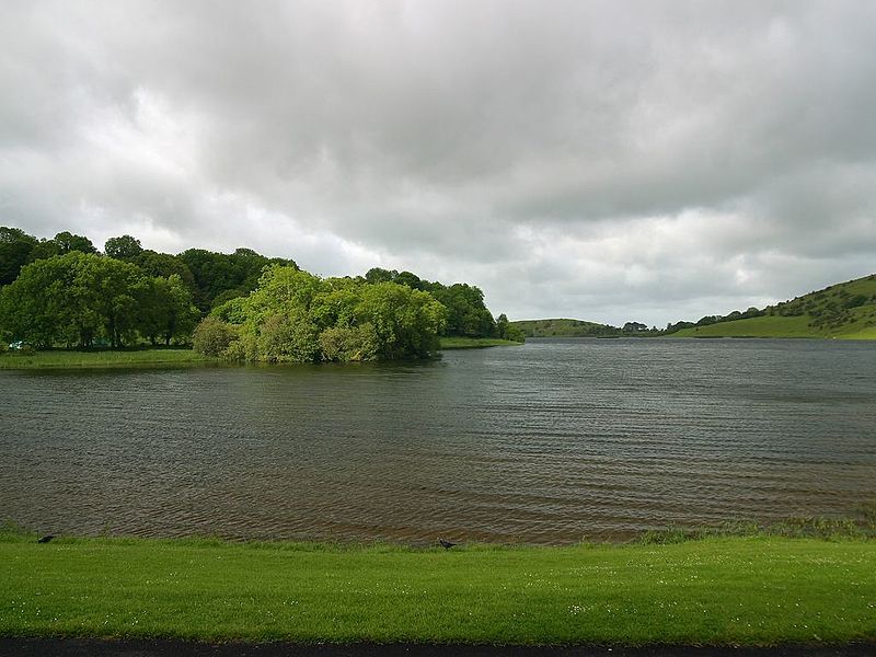
Lough Gur is a lake in County Limerick, Ireland between the towns of Herbertstown and Bruff. The lake forms a horseshoe shape at the base of Knockadoon Hill and some rugged elevated countryside. It is one of Ireland's most important archaeological sites. Humans have lived near Lough Gur since about 3000 BC and there are numerous megalithic remains there. ()
Alternative names: Area: 192.74 acres (0.3012 mi²)Maximum depth: 12 ftElevation: 253 ft a.s.l.Coordinates: 52°30'60"N, 8°31'49"W
Location
Limerick
ContactAdd
Social media
Add
Day trips
Lough Gur – popular in the area (distance from the attraction)
Nearby attractions include: Grange stone circle, People's Park, Hospital Church, Rockstown Castle.


