Maumtrasna

Map
Facts and practical information
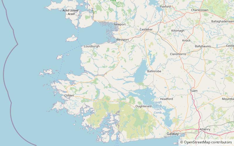
Maumtrasna is the highest peak in the Partry Mountains in south County Mayo, Ireland. The Srahnalong River runs southwest from the peak to the westernmost shore of Lough Mask. The townland of Maumtrasna is on the south bank of the Srahnalong. The townland was the location of the infamous Maumtrasna murders in 1882. ()
Elevation: 2238 ftProminence: 1991 ftCoordinates: 53°36'47"N, 9°34'14"W
Location
Galway
ContactAdd
Social media
Add
Day trips
Maumtrasna – popular in the area (distance from the attraction)
Nearby attractions include: Leenaun Hill, Loch Na Fooey, Devilsmother, Sheeffry Hills.


