Arklow Hill

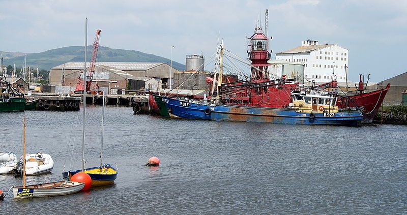
Gallery (2)
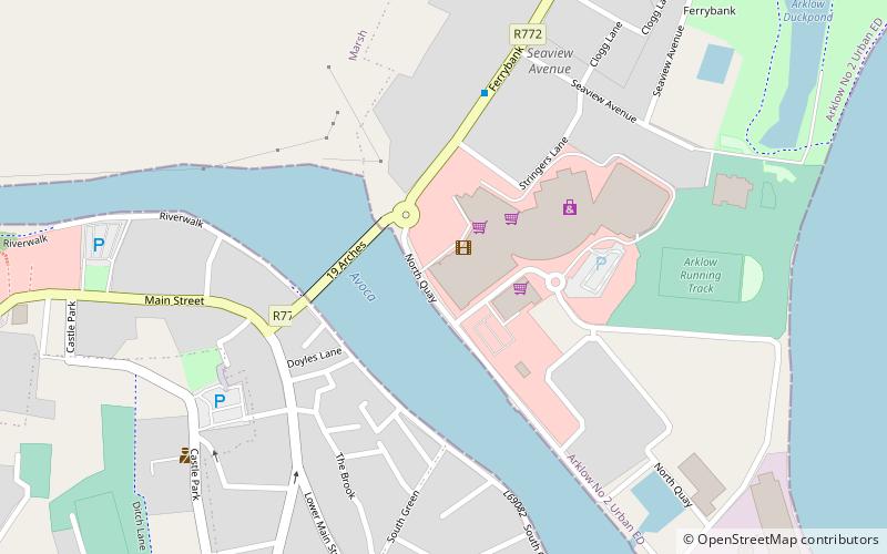
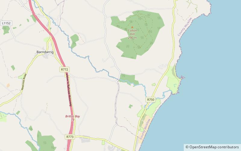
Map
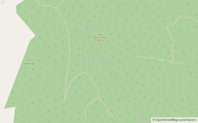
Map
Gallery
Facts and practical information
"Arklow Hill" or "Ballymoyle Hill" dominates the town of Arklow to the south and is situated in the southeastern section of the Wicklow Mountains, just 2 km from the Irish Sea coast. It is a prominent feature from the N11 National primary route which passes a kilometer east of the summit. ()
Elevation: 919 ftCoordinates: 52°50'47"N, 6°8'9"W
Location
Wicklow
ContactAdd
Social media
Add
Day trips