Lough Carra
Map

Map

Facts and practical information
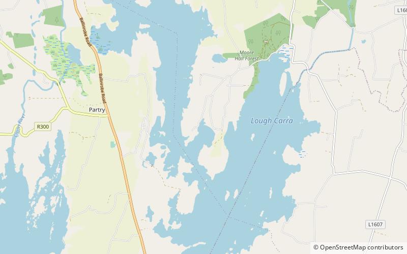
Lough Carra is a limestone lake of 4,000 acres, in County Mayo, Ireland, about 8 miles south of Castlebar. It is approximately 6 miles long and varies in width from 400 yards to one mile. The average depth is 6 feet, with a maximum of 60. It drains into Lough Mask via the Keel River. ()
Alternative names: Area: 6.18 mi²Length: 6 miWidth: 5280 ftMaximum depth: 60 ftElevation: 59 ft a.s.l.Coordinates: 53°41'47"N, 9°14'51"W
Location
Mayo
ContactAdd
Social media
Add
Day trips
Lough Carra – popular in the area (distance from the attraction)
Nearby attractions include: Castle Carra, Ballintubber Abbey, Burriscarra Abbey, Ballinrobe.


