Rattin Castle

Gallery (1)
Map
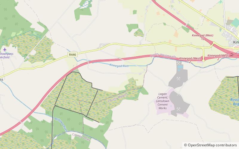
Map
Facts and practical information
Rattin Castle is a ruined castle located southwest of the town of Kinnegad in County Westmeath, Ireland. The castle dates to the 16th century, and was built as a defensive tower for the local lands. ()
Coordinates: 53°26'37"N, 7°10'17"W
Location
Westmeath
ContactAdd
Social media
Add
Day trips