Moycashel, Horseleap

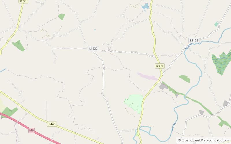
Map
Facts and practical information
Moycashel, previously the barony of Rossaughe, before that, Delamares country, is a barony in south County Westmeath, in the Republic of Ireland. It was formed by 1542. It is bordered by three other baronies: Clonlonan to the west, Rathconrath to the north, Moyashel and Magheradernon to the north-east and Fartullagh to the west. The largest population centre is Kilbeggan. ()
Area: 76.53 mi²Coordinates: 53°23'51"N, 7°30'26"W
Address
Horseleap
ContactAdd
Social media
Add
Day trips
Moycashel – popular in the area (distance from the attraction)
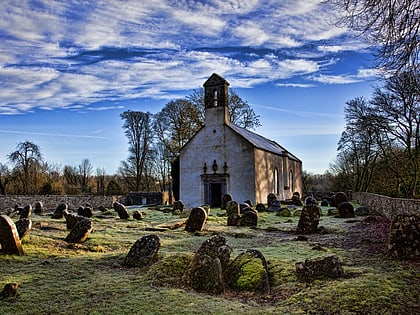
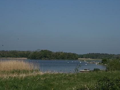
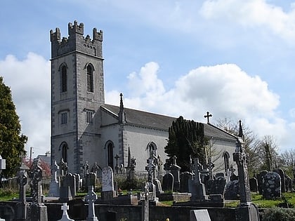
Nearby attractions include: Kilbeggan Distillery, Durrow Abbey, Lough Ennell, Durrow.


