Shielmartin Hill, Dublin
Map

Map

Facts and practical information
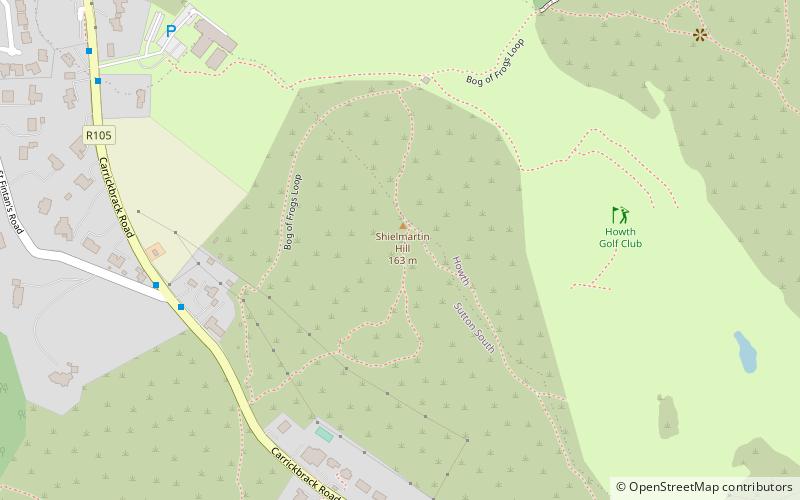
Shielmartin Hill or Shelmartin is a peak on Howth Head. From it can be seen Portmarnock, Sutton, Bull Island and the coastal areas behind it, and most of Dublin Bay. ()
Elevation: 535 ftCoordinates: 53°22'22"N, 6°5'0"W
Address
Northside (Howth)Dublin
ContactAdd
Social media
Add
Day trips
Shielmartin Hill – popular in the area (distance from the attraction)
Nearby attractions include: Ye Olde Hurdy Gurdy Museum of Vintage Radio, Corr Castle, St. Fintan's Cemetery, Martello towers in the Greater Dublin Area.
Frequently Asked Questions (FAQ)
Which popular attractions are close to Shielmartin Hill?
Nearby attractions include Carrickbrack Road, Howth (5 min walk), Sutton Castle, Dublin (14 min walk), St. Fintan's Cemetery, Dublin (16 min walk), Ben of Howth, Dublin (16 min walk).
How to get to Shielmartin Hill by public transport?
The nearest stations to Shielmartin Hill:
Bus
Train
Bus
- Howth Summit • Lines: H3 (27 min walk)
- Howth Road • Lines: H3 (29 min walk)
Train
- Howth (31 min walk)


