The Showgrounds, Sligo
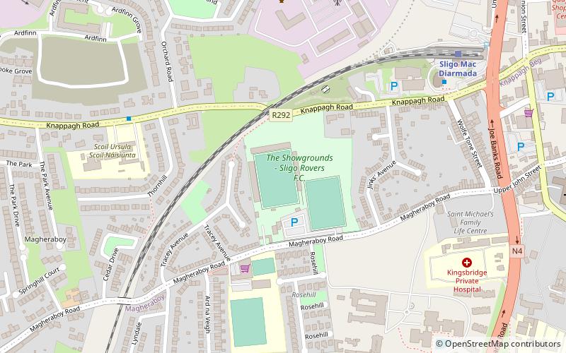
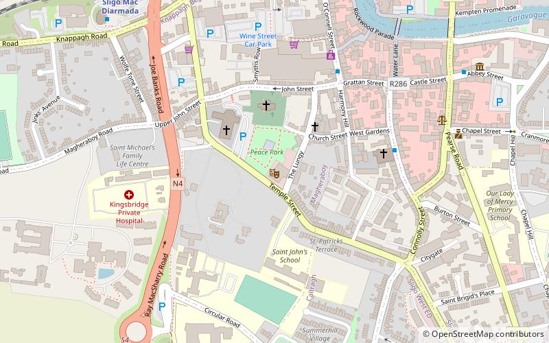
Map
Facts and practical information
The Showgrounds is a stadium in Sligo, which has been home of Sligo Rovers since Rovers were formed in 1928. ()
Address
Sligo
ContactAdd
Social media
Add
Getting there by public transportation
Public transportation stops near this location
- Bus
- Train
 Bus
Bus
- Calculate routeSligo Bus Station 6 min walk
- Calculate routeSligo Institute of Technology 31 min walk
- Calculate routeSligo IT 33 min walk
- Calculate routeSligo Mac Diarmada 7 min walk
Day trips


Frequently Asked Questions (FAQ)
Which popular attractions are close to The Showgrounds?
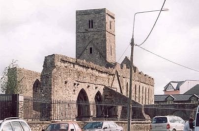
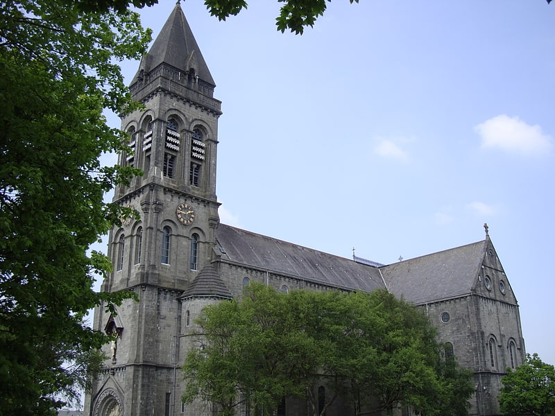
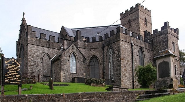
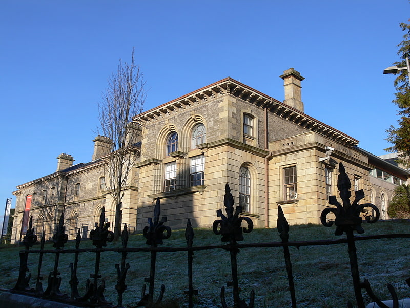
Nearby attractions include Cathedral of the Immaculate Conception, Sligo (9 min walk), St John the Baptist Cathedral, Sligo (11 min walk), Hawk's Well Theatre, Sligo (11 min walk), Ambrosio and Bernado O'Higgins, Sligo (15 min walk).
How to get to The Showgrounds by public transport?
The nearest stations to The Showgrounds:
Bus
Train
Bus
- Sligo Bus Station • Lines: 23 (6 min walk)
- Sligo Institute of Technology • Lines: 23 (31 min walk)
Train
- Sligo Mac Diarmada (7 min walk)