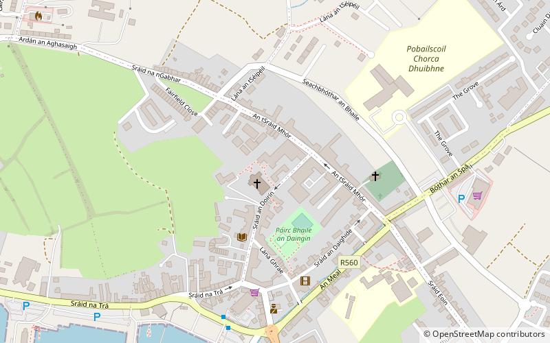
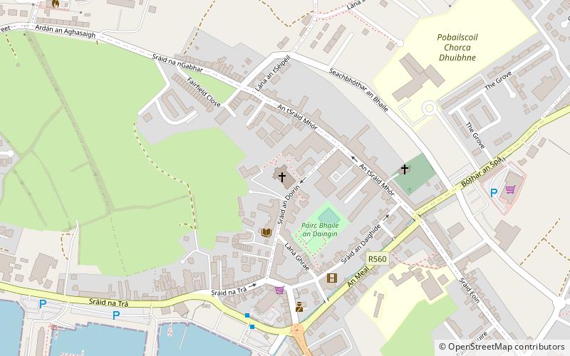
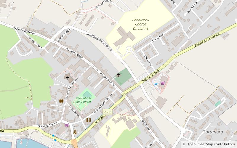
An Diseart, Dingle
Facts and practical information
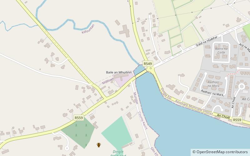
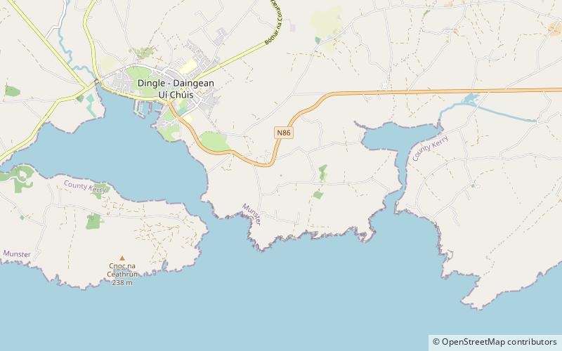
An Diseart is a place located in Dingle (Kerry county) and belongs to the category of sightseeing.
It is situated at an altitude of 75 feet, and its geographical coordinates are 52°8'31"N latitude and 10°16'14"W longitude.
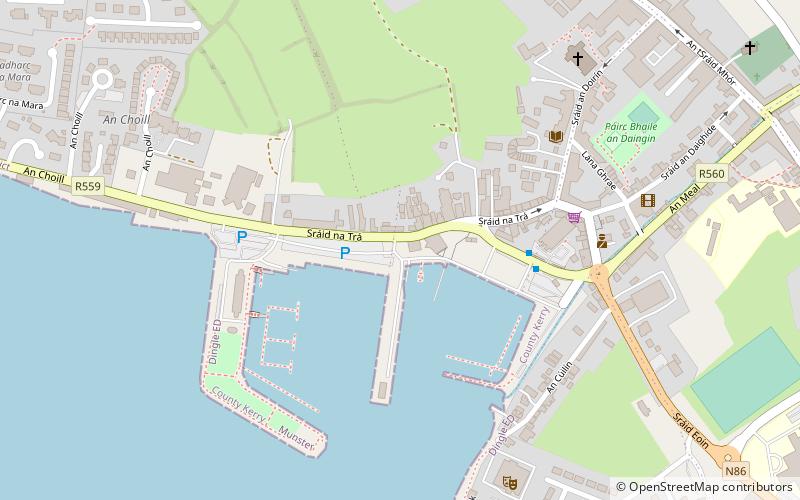
Planning a visit to this place, one can easily and conveniently get there by public transportation. An Diseart is a short distance from the following public transport stations: Dingle (bus, 6 min walk).
Among other places and attractions worth visiting in the area are: St Mary's Church (church, 1 min walk), Saint James' Church of Ireland (church, 4 min walk), Carhoo Hill (nature, 4 min walk).
Dingle
- Bus
 Bus
Bus
- Calculate routeDingle 6 min walk
An Diseart – popular in the area (distance from the attraction)
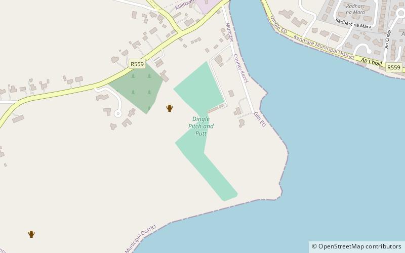
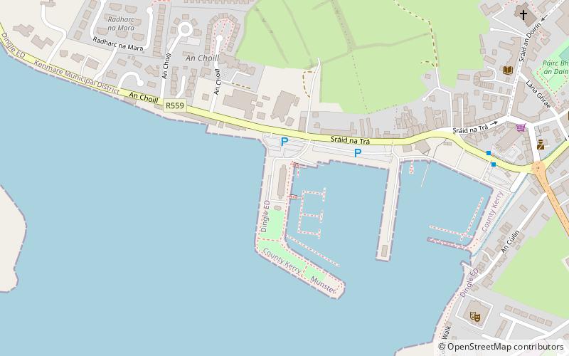
Nearby attractions include: Dingle Pitch and Putt & Fungie's Crazy Golf, Dingle Marina, Oceanworld Aquarium Dingle, Dingle Dolphin tours/fungie The Dingle Dolphin.


Frequently Asked Questions (FAQ)
Which popular attractions are close to An Diseart?
How to get to An Diseart by public transport?
Bus
- Dingle • Lines: 275 (6 min walk)