Baldoyle Bay
Map

Map

Facts and practical information
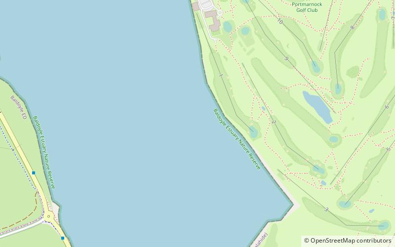
Baldoyle Bay is a sea inlet on the east coast of Fingal in Ireland, in the historic County Dublin. It is situated between Portmarnock, at its head, and Baldoyle. It contains two small estuaries, those of the Sluice River and the Mayne River, and is sometimes called Baldoyle Estuary. The inlet is an important natural feature with protected status. It was once the site of a Viking longphort and later the fishing village of Baldoyle developed near its outlet to the sea. ()
Elevation: 0 ft a.s.l.Coordinates: 53°24'16"N, 6°7'28"W
Location
Dublin
ContactAdd
Social media
Add
Day trips
Baldoyle Bay – popular in the area (distance from the attraction)
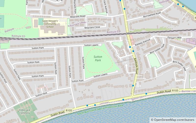
Nearby attractions include: Portmarnock Golf Club, Sutton Golf Club, Sutton Park, Sutton.


