Balla

Map
Facts and practical information
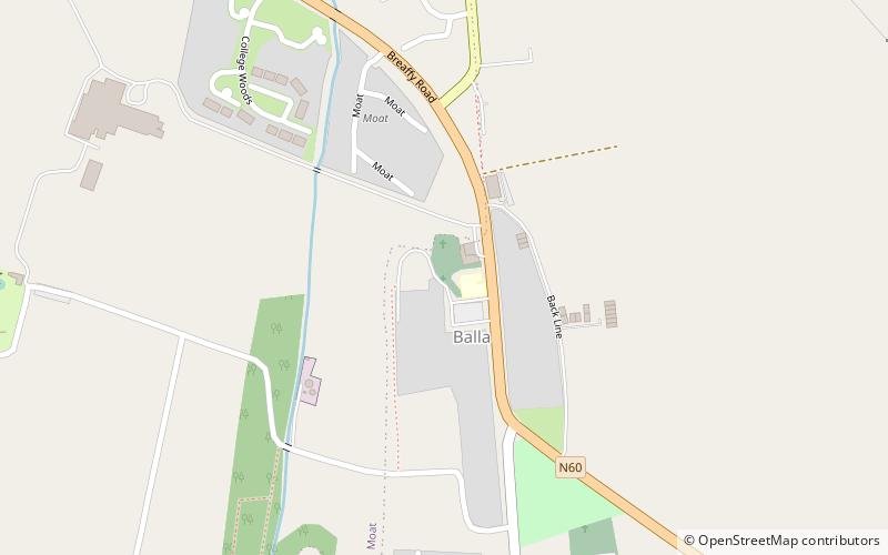
Balla, is a village in County Mayo, Ireland on the N60 National secondary road, the main road between Castlebar and Claremorris. The economy of the village survives mainly on passing trade, from the busy N60 which carries over 7,000 vehicles through the village every day. It is notable for its round tower. It used to be a significant shop and market centre. It fell into decline and lost its railway station, but has enjoyed something of a revival as a residential area for people working in Castlebar. ()
Location
Mayo
ContactAdd
Social media
Add
Day trips
Balla – popular in the area (distance from the attraction)
Nearby attractions include: Museum of Country Life, Balla Round Tower, Burriscarra Abbey, Designwest Kiltimagh.


