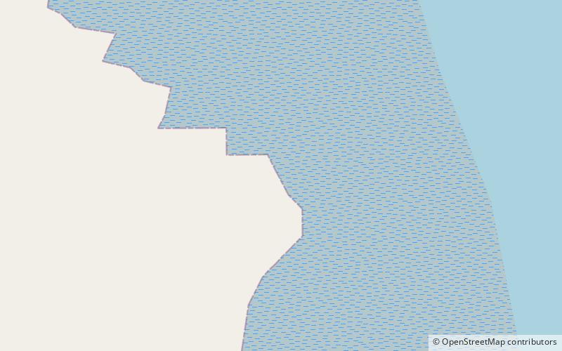
Castlemaine Harbour
Map

Map

Facts and practical information
Castlemaine Harbour is a Ramsar site, Special Area of Conservation, Special Protection Area and national nature reserve of approximately 2,281 acres located in County Kerry, Ireland. ()
Elevation: 3 ft a.s.l.Coordinates: 52°7'41"N, 9°56'38"W
Location
Kerry
ContactAdd
Social media
Add
Day trips
Castlemaine Harbour – popular in the area (distance from the attraction)
Nearby attractions include: Caherconree, Baurtregaum, Caragh Lake, Glenbeigh.


