Pettigo Plateau

Map
Facts and practical information
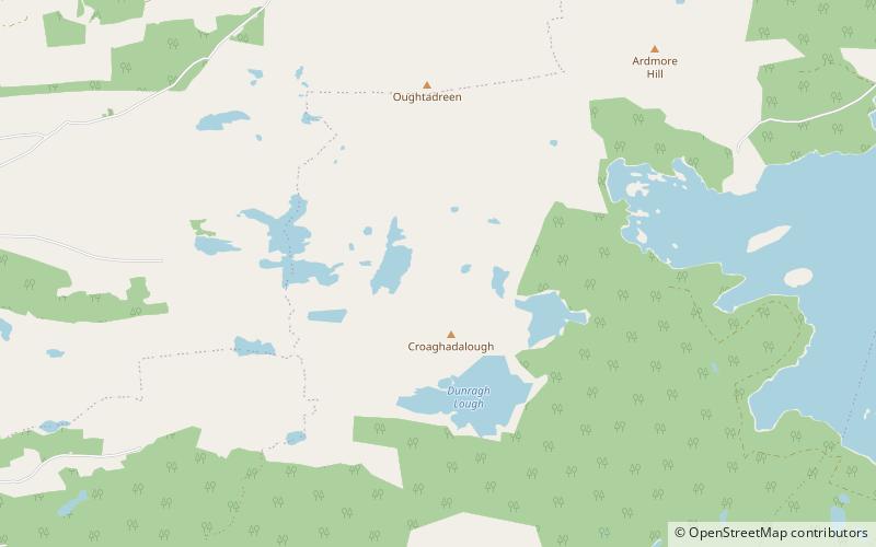
Pettigo Plateau is a blanket bog and wet heath, Ramsar site, protected area and national nature reserve of approximately 224 acres in County Donegal. ()
Area: 3.47 mi²Elevation: 577 ft a.s.l.Coordinates: 54°36'58"N, 7°56'31"W
Location
Donegal
ContactAdd
Social media
Add
Day trips
Pettigo Plateau – popular in the area (distance from the attraction)
Nearby attractions include: St Patrick's Purgatory, Lough Derg, Lough Golagh, Pettigo.


