Ballygall, Dublin
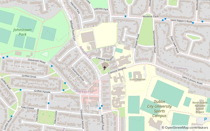
Map
Facts and practical information
Coordinates: 53°23'2"N, 6°16'33"W
Address
Ballygall Road EastNorthside (Finglas)Dublin
ContactAdd
Social media
Add
Day trips
Ballygall – popular in the area (distance from the attraction)
Nearby attractions include: National Botanic Gardens, Omni Park, Glasnevin Cemetery, Albert College Park.
Frequently Asked Questions (FAQ)
Which popular attractions are close to Ballygall?
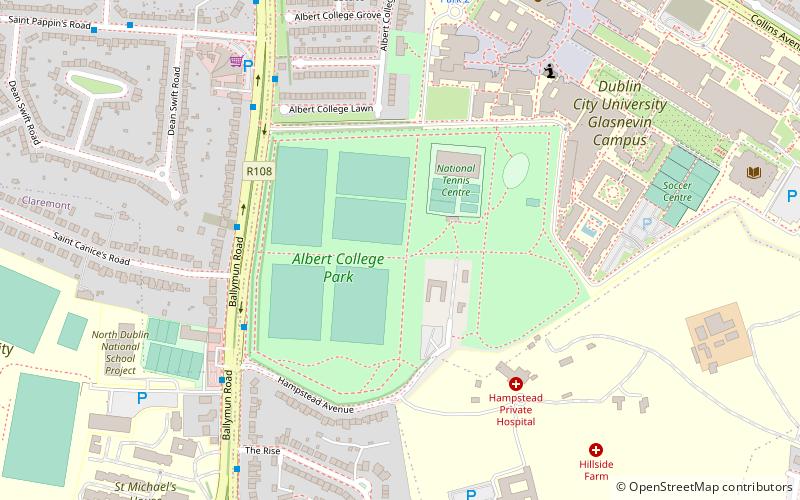
Nearby attractions include Albert College Park, Dublin (15 min walk), Balnagowan House, Dublin (17 min walk), The Helix, Dublin (19 min walk), National Botanic Gardens, Dublin (21 min walk).
How to get to Ballygall by public transport?
The nearest stations to Ballygall:
Bus
Tram
Train
Bus
- #6122 Saint Pappin Road, St Pappin's Green • Lines: 11 (5 min walk)
- #32 St Pappin's Road, Stormanstown Road • Lines: 11 (7 min walk)
Tram
- Broombridge • Lines: Luas Green Line (31 min walk)
Train
- Broombridge (32 min walk)


