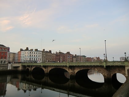
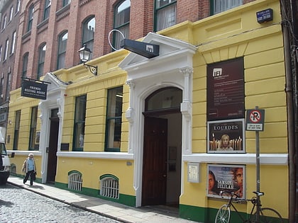
Fownes Street, Dublin
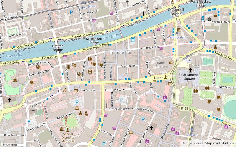
Map
Gallery
Facts and practical information
Fownes Street is a street in Dublin in the Republic of Ireland that runs from Wellington Quay in the north to Dame Street in the south. ()
Coordinates: 53°20'40"N, 6°15'48"W
Address
Southside (South-East Inner City)Dublin
ContactAdd
Social media
Add
Day trips
Fownes Street – popular in the area (distance from the attraction)
Nearby attractions include: Wicklow Street, The Stag's Head, Ha'penny Bridge, Temple Bar Gallery and Studios.
Frequently Asked Questions (FAQ)
Which popular attractions are close to Fownes Street?
Nearby attractions include Dame Lane, Dublin (2 min walk), The Stag's Head, Dublin (2 min walk), Temple Bar, Dublin (2 min walk), The Button Factory, Dublin (2 min walk).
How to get to Fownes Street by public transport?
The nearest stations to Fownes Street:
Bus
Tram
Train
Bus
- Dame Street, Central Bank • Lines: 49, 79, 79A (1 min walk)
- Dame Street • Lines: Dublin Tour (2 min walk)
Tram
- Westmoreland • Lines: Luas Green Line (6 min walk)
- Trinity • Lines: Luas Green Line (6 min walk)
Train
- Tara Street (11 min walk)
- Dublin Pearse (16 min walk)


