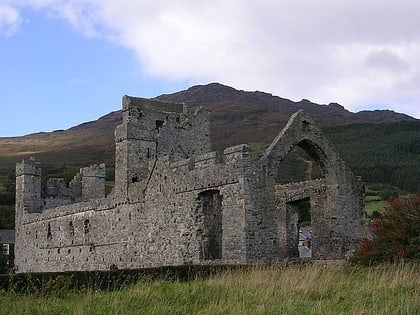
Ireland's Ancient East, Carlingford
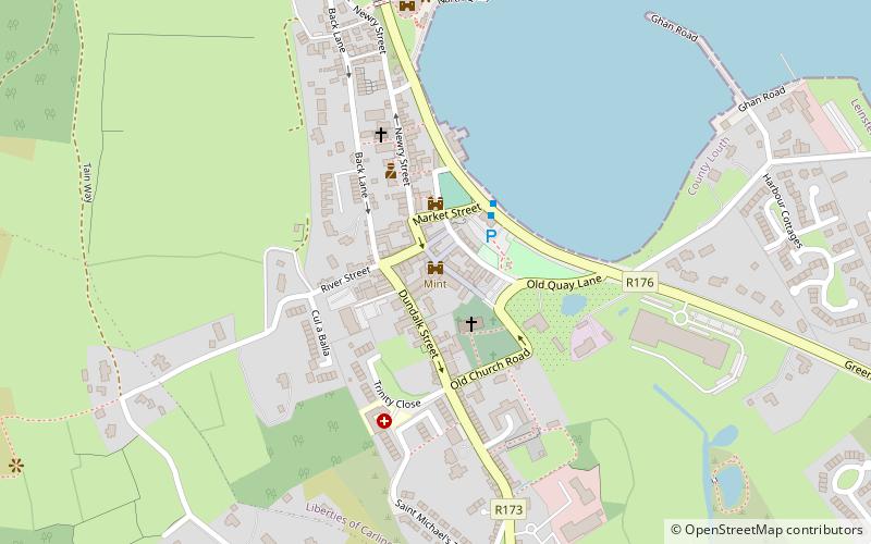
Map
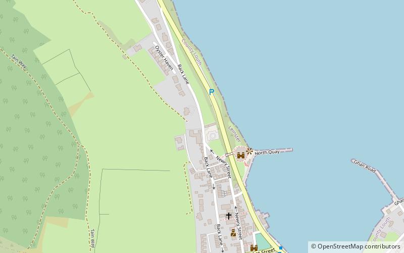
Map

Facts and practical information
Ireland's Ancient East is a destination marketing brand representing the east coast, and parts of the midlands and south coasts, of Ireland. Unlike the Wild Atlantic Way, the region's tourism trail doesn't have a set driving route, and instead seeks to connect various sights throughout seventeen counties in two provinces. The concept is built around four "pillars": Ancient Ireland, Early Christian Ireland, Medieval Ireland and Anglo Ireland. ()
Coordinates: 54°2'38"N, 6°11'19"W
Address
Carlingford
ContactAdd
Social media
Add
Day trips
Ireland's Ancient East – popular in the area (distance from the attraction)
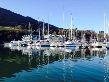
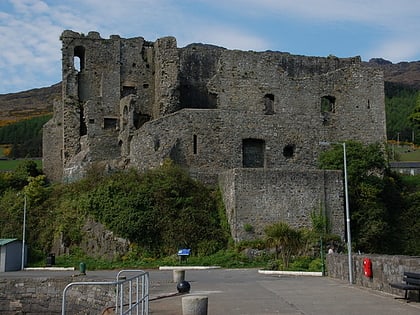
Nearby attractions include: Carlingford Lough, King John's Castle, The Mint, Carlingford Abbey.
Frequently Asked Questions (FAQ)
Which popular attractions are close to Ireland's Ancient East?
Nearby attractions include King John's Castle, Carlingford (3 min walk), The Mint, Carlingford (8 min walk), Fathom Castle, Carlingford (8 min walk), Carlingford Abbey, Carlingford (11 min walk).
