Bohermore, Galway
Map

Map

Facts and practical information
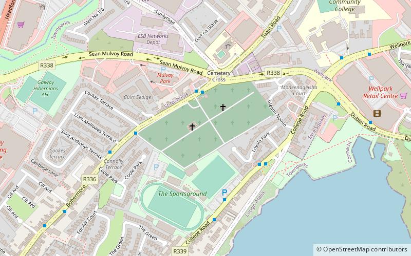
Bohermore is an area of Galway, Ireland. It got this name as it was the main road into Galway City from the east in medieval times. ()
Coordinates: 53°16'52"N, 9°2'19"W
Address
Eyre SquareGalway
ContactAdd
Social media
Add
Day trips
Bohermore – popular in the area (distance from the attraction)
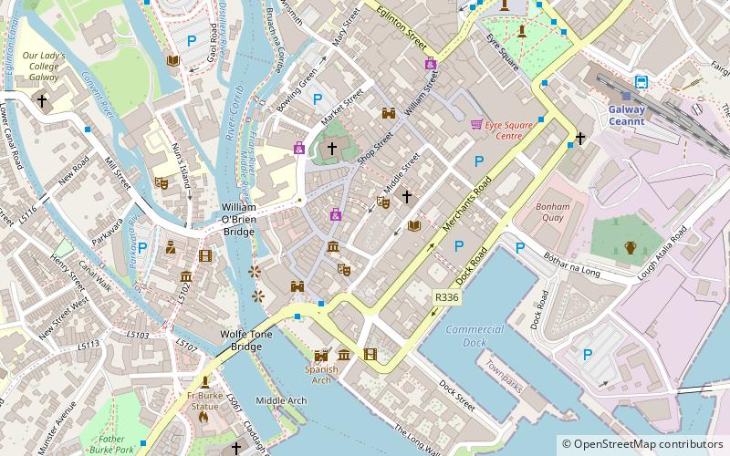
Nearby attractions include: Shop Street, Galway City Museum, Cathedral of Our Lady Assumed into Heaven and St Nicholas, Spanish Arch.
Frequently Asked Questions (FAQ)
Which popular attractions are close to Bohermore?
Nearby attractions include 126 Artist-run Gallery, Galway (14 min walk), Eyre Square, Galway (16 min walk), Taibhdhearc na Gaillimhe, Galway (17 min walk), Corrib Princess, Galway (18 min walk).
How to get to Bohermore by public transport?
The nearest stations to Bohermore:
Bus
Train
Bus
- Dublin Rd • Lines: 402, Bus 409 (6 min walk)
- Headford Road • Lines: 407 (12 min walk)
Train
- Galway Ceannt (16 min walk)


