Oliver Bond flats, Dublin

Map
Facts and practical information
Oliver Bond flats, also known as Oliver Bond House, is a group of blocks of flats in the Liberties area of Dublin. They were designed by Herbert George Simms and built in 1936. They are named after Oliver Bond, a member of the Society of United Irishmen. ()
Coordinates: 53°20'41"N, 6°16'46"W
Address
Oliver Bond StreetSouthside (South-West Inner City)Dublin
ContactAdd
Social media
Add
Day trips
Oliver Bond flats – popular in the area (distance from the attraction)
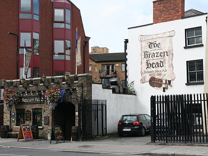
Nearby attractions include: The Brazen Head, Dublinia, Old Jameson Distillery, Croppies' Acre.
Frequently Asked Questions (FAQ)
Which popular attractions are close to Oliver Bond flats?
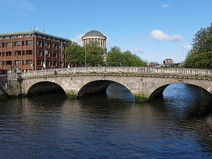
Nearby attractions include Thomas Street, Dublin (4 min walk), Augustinian Friary of the Most Holy Trinity, Dublin (4 min walk), Mellows Bridge, Dublin (4 min walk), John's Lane Church, Dublin (4 min walk).
How to get to Oliver Bond flats by public transport?
The nearest stations to Oliver Bond flats:
Bus
Tram
Train
Bus
- Usher's Quay • Lines: 145, 25d, 25x, 26, 37, 39, 39a, 51d, 52, 69, 69x, 70, 747, 79, 79A, C1, C2, C3, C4 (3 min walk)
- Smithfield, Ocean House • Lines: 26, 79, 79A (4 min walk)
Tram
- Stop • Lines: Luas Red Line (8 min walk)
- Smithfield • Lines: Luas Red Line (5 min walk)
Train
- Heuston (16 min walk)
- Dublin Heuston (17 min walk)
