Bedford Row, Limerick
Map
Facts and practical information
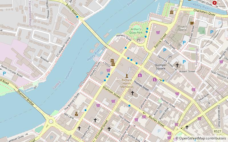
Bedford Row is a shopping street in Limerick, Ireland. The street is named after John Russell, 4th Duke of Bedford who was Lord Lieutenant of Ireland from 1757 to 1761. The street starts at a junction with O'Connell Street and continues westwards forming a junction with Henry Street and continues between Dunnes Stores and the Augustinian Church and ends at Howley's Quay. ()
Coordinates: 52°39'49"N, 8°37'44"W
Address
Limerick
ContactAdd
Social media
Add
Getting there by public transportation
Public transportation stops near this location
- Bus
- Train
 Bus
Bus
- Calculate routeIrish Citylink, Henry Street 4 min walk
- Calculate routeArthur's Quay 5 min walk
- Calculate routeLimerick Bus Station 10 min walk
- Calculate routeLimerick Colbert 12 min walk
Day trips


Frequently Asked Questions (FAQ)
Which popular attractions are close to Bedford Row?
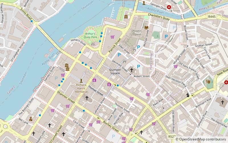
Nearby attractions include Limerick Museum, Limerick (1 min walk), The Stella Bingo, Limerick (2 min walk), Ormston House, Limerick (5 min walk), Patrick Street, Limerick (5 min walk).
How to get to Bedford Row by public transport?
The nearest stations to Bedford Row:
Bus
Train
Bus
- Irish Citylink, Henry Street • Lines: Express to Cork, Express to Galway (4 min walk)
- Arthur's Quay • Lines: 735 (5 min walk)
Train
- Limerick Colbert (12 min walk)