Rutland Street, Limerick

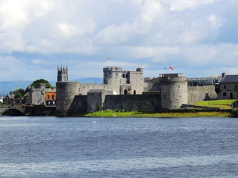
Gallery (1)
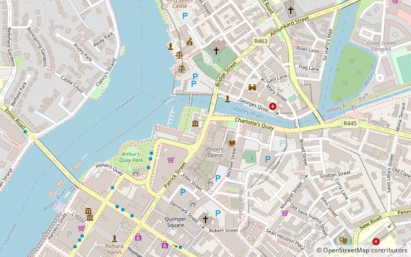
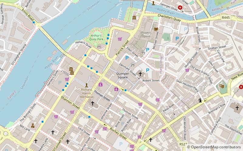
Map
Map
Facts and practical information
Rutland Street is a street in central Limerick, Ireland that forms part of the main central thoroughfare of the city which incorporates Rutland Street, Patrick Street and O'Connell Street. Named after the 4th Duke of Rutland, Charles Manners, who was appointed Lord Lieutenant of Ireland in 1784 and visited Limerick in 1785. Rutland Street along with nearby Bank Place features some of Limerick's earliest examples of Georgian Architecture. It was the first street developed as part of Edmund Sexton Pery's plans for Newtown Pery, and was the first part of the great Georgian expansion of Limerick south from the medieval city. In 1901, Irish nationalists suggested renaming the street to Hugh O'Neill Street. ()
Coordinates: 52°39'58"N, 8°37'26"W
Address
Limerick
ContactAdd
Social media
Add
Getting there by public transportation
Public transportation stops near this location
- Bus
- Train
 Bus
Bus
- Calculate routeArthur's Quay 3 min walk
- Calculate routeIrish Citylink, Henry Street 11 min walk
- Calculate routeLimerick Bus Station 14 min walk
- Calculate routeLimerick Colbert 14 min walk
Day trips


Frequently Asked Questions (FAQ)
Which popular attractions are close to Rutland Street?
Nearby attractions include Hunt Museum, Limerick (1 min walk), St Mary's Cathedral, Limerick (3 min walk), Ormston House, Limerick (3 min walk), Fanning's Castle, Limerick (3 min walk).
How to get to Rutland Street by public transport?
The nearest stations to Rutland Street:
Bus
Train
Bus
- Arthur's Quay • Lines: 735 (3 min walk)
- Irish Citylink, Henry Street • Lines: Express to Cork, Express to Galway (11 min walk)
Train
- Limerick Colbert (14 min walk)