Capital Dock, Dublin
Map

Map

Facts and practical information
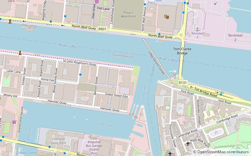
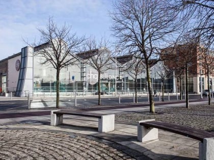
Capital Dock is a 22-storey mixed-use development at the junction of Sir John Rogerson's Quay and Britain Quay in the Dublin docklands. Developed by Kennedy Wilson, the site was acquired in 2012 and construction finished in 2018. Upon completion, the 79-metre tower became the tallest storeyed building in the Republic of Ireland, and the third tallest on the island of Ireland. ()
Coordinates: 53°20'42"N, 6°13'52"W
Address
Southside (South-East Inner City)Dublin
ContactAdd
Social media
Add
Day trips
Capital Dock – popular in the area (distance from the attraction)
Nearby attractions include: National Gallery of Ireland, Aviva Stadium, Shelbourne Park, 3Arena.
Frequently Asked Questions (FAQ)
Which popular attractions are close to Capital Dock?
Nearby attractions include Britain Quay, Dublin (1 min walk), East-Link, Dublin (5 min walk), 3Arena, Dublin (6 min walk), Wheel of Dublin, Dublin (6 min walk).
How to get to Capital Dock by public transport?
The nearest stations to Capital Dock:
Bus
Tram
Train
Bus
- North Wall Quay • Lines: 133X, 22, 23, Se1, Se2 (7 min walk)
- Point Depot • Lines: Se1, Se2 (6 min walk)
Tram
- The Point • Lines: Luas Red Line (7 min walk)
- Spencer Dock • Lines: Luas Red Line (10 min walk)
Train
- Grand Canal Dock (12 min walk)
- Docklands (14 min walk)


