Ballintra, Arranmore Island

Gallery (1)
Map
Map
Facts and practical information
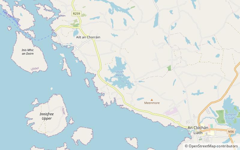
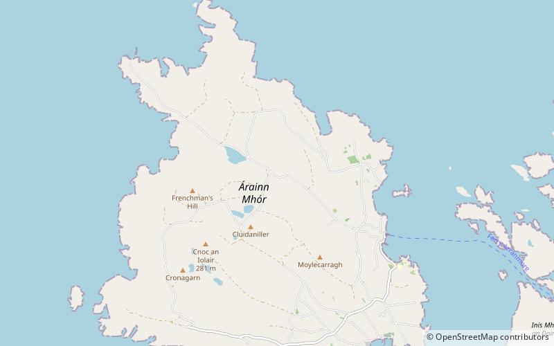
Baile an tSratha is a townland on the Gaeltacht island of Arranmore in County Donegal, Ireland. Translated to the English language, Ballintra means "road to the beach". The townland is in the historic barony of Boylagh. ()
Coordinates: 54°59'55"N, 8°31'25"W
Address
Arranmore Island
ContactAdd
Social media
Add
Day trips