Robinstown, Mullingar
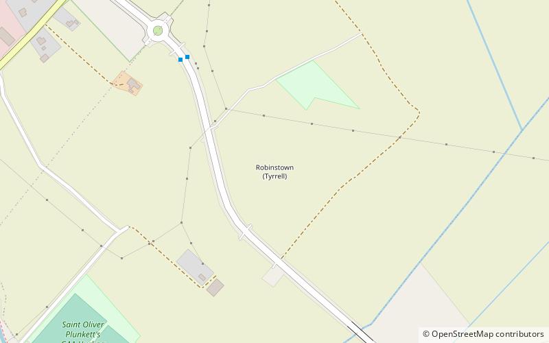
Map
Facts and practical information
Robinstown is a townland in Mullingar in County Westmeath, Ireland. The townland is named for the Tyrrell baronets. ()
Coordinates: 53°32'16"N, 7°20'4"W
Address
Mullingar
ContactAdd
Social media
Add
Getting there by public transportation
Public transportation stops near this location
- Bus
- Train
 Bus
Bus
- Calculate routeMullingar Hospital 18 min walk
- Calculate routeMullingar 22 min walk
- Calculate routeMullingar 29 min walk
Day trips


Frequently Asked Questions (FAQ)
Which popular attractions are close to Robinstown?
Nearby attractions include St Paul's Church, Mullingar (19 min walk), Cathedral of Christ the King, Mullingar (22 min walk).
How to get to Robinstown by public transport?
The nearest stations to Robinstown:
Bus
Train
Bus
- Mullingar Hospital • Lines: 22, 23 (18 min walk)
- Mullingar • Lines: 115, 115C, 22, 23 (22 min walk)
Train
- Mullingar (29 min walk)