Friarstown, Dromahair
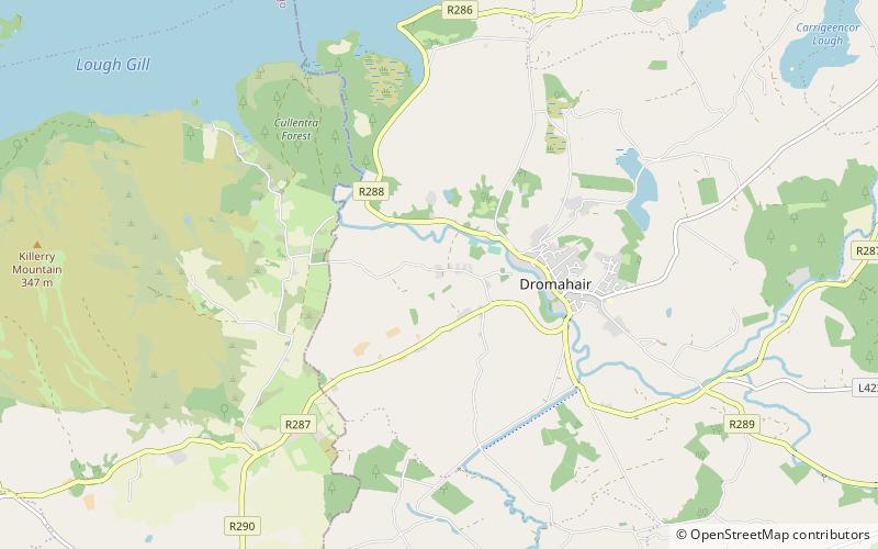
Map
Facts and practical information
Friarstown is a townland in County Westmeath, Ireland. The townland is located in the civil parish of Clonfad. The southern shores of Lough Ennell borders the townland to the north, and Dalystown is to the east. The River Brosna forms its western border with the townland of Clonsingle. ()
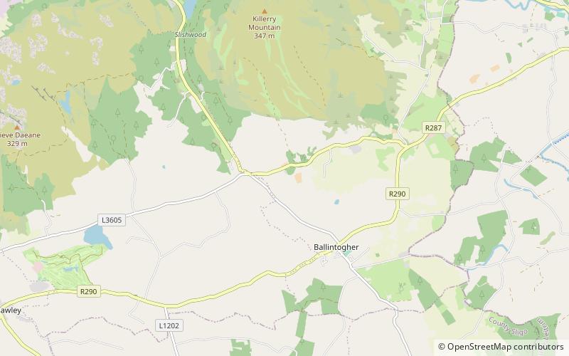
Coordinates: 54°13'51"N, 8°19'11"W
Address
Dromahair
ContactAdd
Social media
Add
Day trips
Friarstown – popular in the area (distance from the attraction)
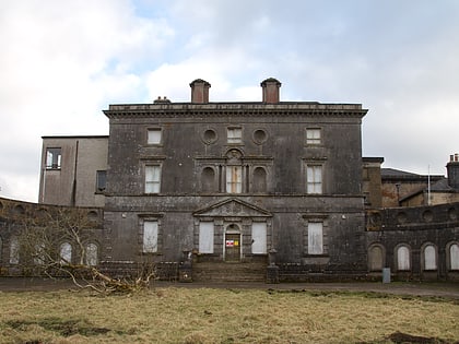
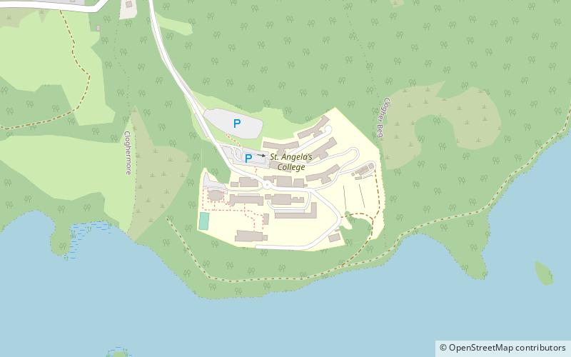
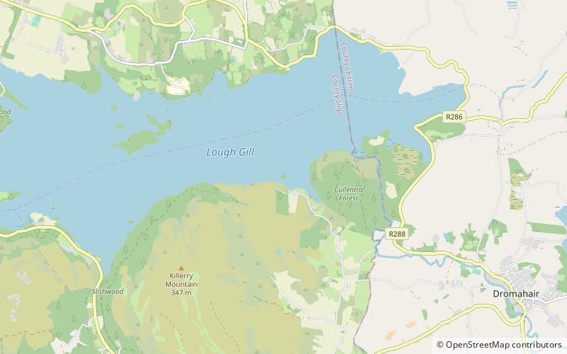
Nearby attractions include: Parke's Castle, Lough Gill, Hazelwood, St. Angela's College.


