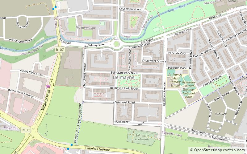
Belmayne, Dublin
Map

Map

Facts and practical information
Coordinates: 53°24'19"N, 6°10'23"W
Address
Northside (Donaghmede)Dublin
ContactAdd
Social media
Add
Day trips
Belmayne – popular in the area (distance from the attraction)
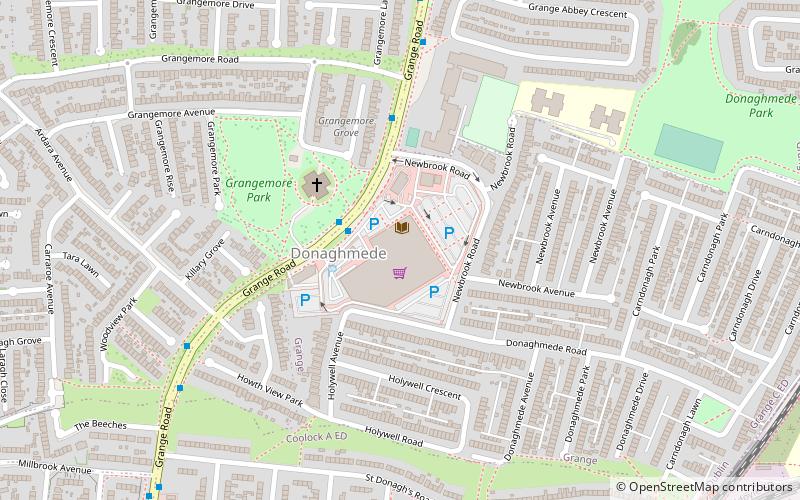
Nearby attractions include: Donaghmede Shopping Centre, Father Collins Park, Clarehall Shopping Centre, St Doulagh's Church.
Frequently Asked Questions (FAQ)
Which popular attractions are close to Belmayne?
Nearby attractions include Balgriffin, Dublin (5 min walk), Father Collins Park, Dublin (14 min walk), Grange Abbey, Dublin (18 min walk), St Doulagh's Church, Dublin (18 min walk).
How to get to Belmayne by public transport?
The nearest stations to Belmayne:
Bus
Train
Bus
- Malahide Road, Balgriffin Road • Lines: 42 (8 min walk)
- Malahide Road, Clarehall • Lines: 15, 42 (11 min walk)
Train
- Clongriffin (26 min walk)
- Howth Junction and Donaghmede (31 min walk)


