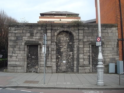
Christchurch Place, Dublin
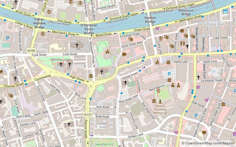
Map
Facts and practical information
Christchurch Place is a street in central Dublin, Ireland, formerly known as Skinners Row or Skinner's Row. ()
Coordinates: 53°20'36"N, 6°16'12"W
Address
Southside (South-East Inner City)Dublin
ContactAdd
Social media
Add
Day trips
Christchurch Place – popular in the area (distance from the attraction)
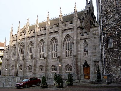
Nearby attractions include: Dublin Castle, Christ Church Cathedral, Dublinia, Chester Beatty Library.
Frequently Asked Questions (FAQ)
Which popular attractions are close to Christchurch Place?
Nearby attractions include St. Werburgh's Church, Dublin (1 min walk), Fishamble Street, Dublin (1 min walk), Christ Church Cathedral, Dublin (2 min walk), St. Michael's Church, Dublin (2 min walk).
How to get to Christchurch Place by public transport?
The nearest stations to Christchurch Place:
Bus
Tram
Train
Bus
- Lord Edward Street • Lines: 49 (2 min walk)
- Essex Quay, Exchange Street • Lines: 145, 37, 39, 39a, 69, 69x, 79, 79A (4 min walk)
Tram
- Stop • Lines: Luas Red Line (11 min walk)
- Four Courts • Lines: Luas Red Line (8 min walk)
Train
- Tara Street (18 min walk)
- Dublin Pearse (23 min walk)


