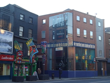
The Coombe, Dublin
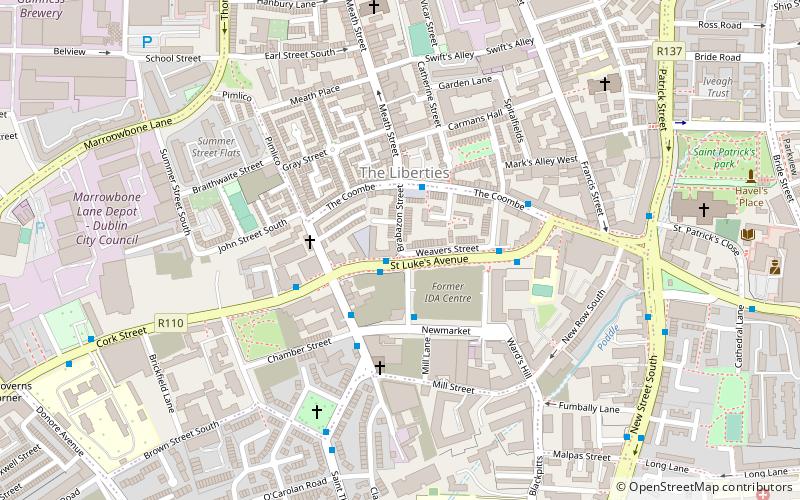
Map
Facts and practical information
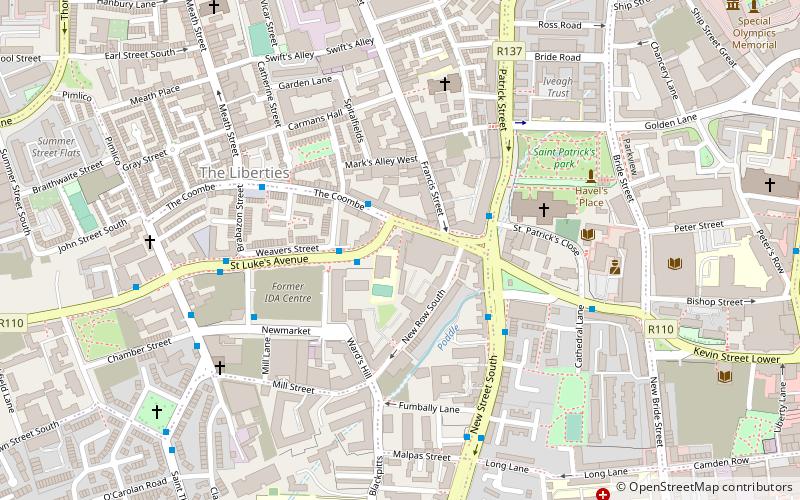
The Coombe is a historic street in the south inner city of Dublin, Ireland. It was originally a hollow or valley where a tributary of the River Poddle, the Coombe Stream or Commons Water, ran. The name is sometimes used for the broader area around, in which the Poddle and its related watercourses featured strongly. ()
Coordinates: 53°20'20"N, 6°16'41"W
Address
Southside (South-West Inner City)Dublin
ContactAdd
Social media
Add
Day trips
The Coombe – popular in the area (distance from the attraction)
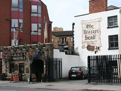
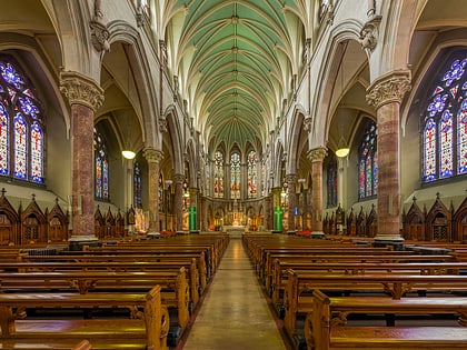
Nearby attractions include: St Patrick's Cathedral, The Brazen Head, Dublinia, Wood Quay.
Frequently Asked Questions (FAQ)
Which popular attractions are close to The Coombe?
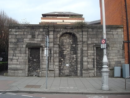
Nearby attractions include Teeling Distillery, Dublin (3 min walk), St. Luke's Church, Dublin (3 min walk), Cork Street, Dublin (4 min walk), Pallas Projects/Studios, Dublin (4 min walk).
How to get to The Coombe by public transport?
The nearest stations to The Coombe:
Bus
Tram
Train
Bus
- St Luke's Avenue • Lines: 27 towards Jobstown, 50 towards Citywest, 56a towards Ringsend, 56a towards Tallaght, 77a towards Ringsend, 77a towards Tallaght (2 min walk)
- Patrick Street • Lines: 49 (6 min walk)
Tram
- Stop • Lines: Luas Red Line (15 min walk)
- Smithfield • Lines: Luas Red Line (15 min walk)
Train
- Heuston (22 min walk)
- Dublin Heuston (22 min walk)

