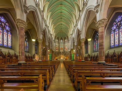
Smithfield, Dublin
Map
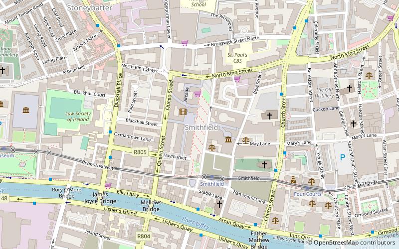
Map

Facts and practical information
Smithfield is an area on the Northside of Dublin. Its focal point is a public square, formerly an open market, now officially called Smithfield Plaza, but known locally as Smithfield Square or Smithfield Market. ()
Coordinates: 53°20'55"N, 6°16'42"W
Address
Northside (North Inner City)Dublin
ContactAdd
Social media
Add
Day trips
Smithfield – popular in the area (distance from the attraction)
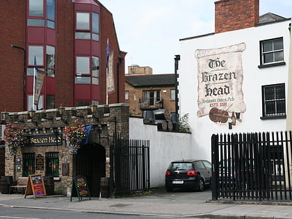
Nearby attractions include: The Brazen Head, Old Jameson Distillery, Croppies' Acre, Four Courts.
Frequently Asked Questions (FAQ)
Which popular attractions are close to Smithfield?
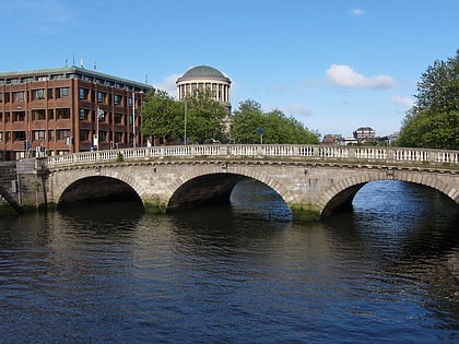
Nearby attractions include Old Jameson Distillery, Dublin (2 min walk), Jameson Irish Whiskey, Dublin (2 min walk), St Michan's Church, Dublin (4 min walk), Mellows Bridge, Dublin (5 min walk).
How to get to Smithfield by public transport?
The nearest stations to Smithfield:
Tram
Bus
Train
Tram
- Smithfield • Lines: Luas Red Line (3 min walk)
- Stop • Lines: Luas Red Line (6 min walk)
Bus
- Smithfield, Ocean House • Lines: 26, 79, 79A (4 min walk)
- Blackhall Place • Lines: 37, 39, 39a (5 min walk)
Train
- Heuston (17 min walk)
- Dublin Heuston (18 min walk)

