St. Andrew's, Dublin
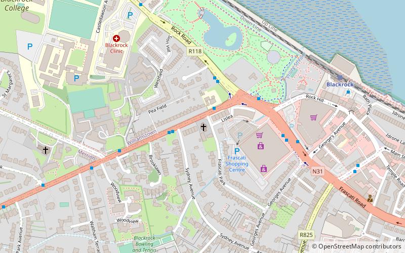
Map

Gallery

Facts and practical information
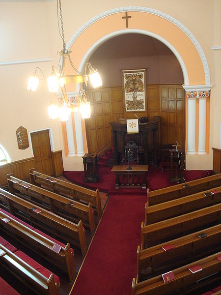
St. Andrew's, Blackrock is a Presbyterian church on Mount Merrion Avenue, Blackrock, County Dublin. The Blackrock parish was established in 1895 and the church was opened in 1899. Its sister church is St. Andrew's of Bray. ()
Coordinates: 53°18'6"N, 6°11'4"W
Day trips
St. Andrew's – popular in the area (distance from the attraction)
Nearby attractions include: Elm Park Golf Club, Merrion Centre, Church of the Assumption, Lambert Puppet Theatre.
Frequently Asked Questions (FAQ)
Which popular attractions are close to St. Andrew's?
Nearby attractions include Frescati House, Dublin (3 min walk), Blackrock, Dublin (7 min walk), St. Philip and St. James Church, Dublin (8 min walk), St. John the Baptist, Dublin (11 min walk).
How to get to St. Andrew's by public transport?
The nearest stations to St. Andrew's:
Bus
Train
Bus
- Mount Merrion Avenue, Sydney Avenue • Lines: 17 (1 min walk)
- Mount Merrion - • Lines: 702 (2 min walk)
Train
- Blackrock (7 min walk)
- Booterstown (19 min walk)


