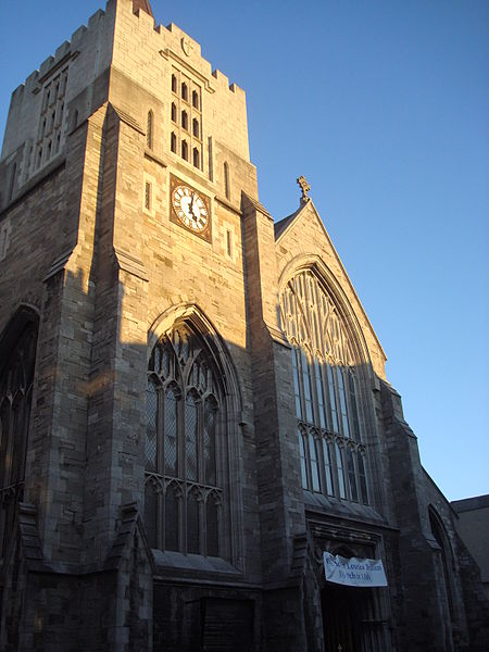
St Catherine's Church, Dublin
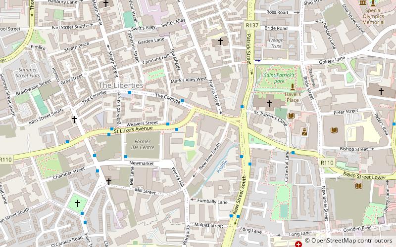
Map

Gallery
Facts and practical information
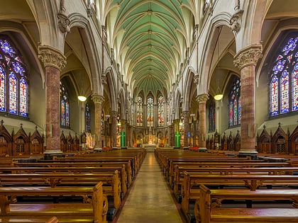
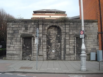
St. Catherine's is a Roman Catholic church on Meath Street, Dublin that is in use today. It was dedicated in 1858 and is the second church to occupy the same site. There is also a small grotto dedicated to Our Lady of Lourdes located on the grounds. ()
Coordinates: 53°20'32"N, 6°16'43"W
Address
Thomas Street 8Southside (South-West Inner City)Dublin
Contact
+353 1 473 5100
Social media
Day trips
St Catherine's Church – popular in the area (distance from the attraction)
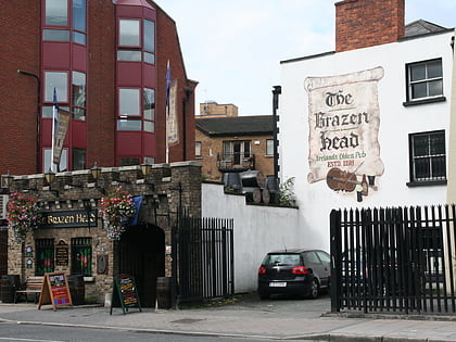
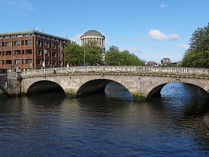
Nearby attractions include: Christ Church Cathedral, The Brazen Head, Dublinia, Four Courts.
Frequently Asked Questions (FAQ)
Which popular attractions are close to St Catherine's Church?
Nearby attractions include Vicar Street, Dublin (1 min walk), John's Lane Church, Dublin (3 min walk), Augustinian Friary of the Most Holy Trinity, Dublin (3 min walk), Thomas Street, Dublin (3 min walk).
How to get to St Catherine's Church by public transport?
The nearest stations to St Catherine's Church:
Bus
Tram
Train
Bus
- St Luke's Avenue • Lines: 27 towards Jobstown, 50 towards Citywest, 56a towards Ringsend, 56a towards Tallaght, 77a towards Ringsend, 77a towards Tallaght (7 min walk)
- Usher's Quay • Lines: 145, 25d, 25x, 26, 37, 39, 39a, 51d, 52, 69, 69x, 70, 747, 79, 79A, C1, C2, C3, C4 (7 min walk)
Tram
- Stop • Lines: Luas Red Line (10 min walk)
- Smithfield • Lines: Luas Red Line (9 min walk)
Train
- Heuston (19 min walk)
- Dublin Heuston (19 min walk)


