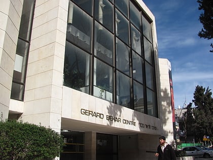
Holyland Model of Jerusalem, Jerusalem
Map
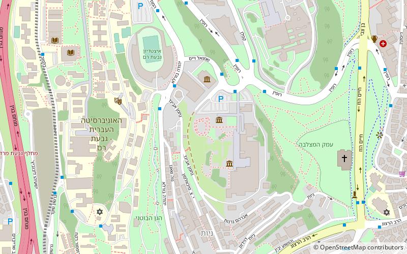
Map

Facts and practical information
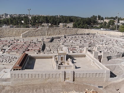
The Holyland Model of Jerusalem, also known as Model of Jerusalem at the end of the Second Temple period is a 1:50 scale model of the city of Jerusalem in the late Second Temple period. The model was moved from its original location at the Holyland Hotel in Bayit VeGan, Jerusalem, to a new site at the Israel Museum in June 2006. ()
Local name: דגם ירושלים בסוף ימי בית שני Elevation: 2543 ft a.s.l.Coordinates: 31°46'24"N, 35°12'8"E
Address
גִּבְעַת רָם (gibeat ram)Jerusalem
ContactAdd
Social media
Add
Day trips
Holyland Model of Jerusalem – popular in the area (distance from the attraction)
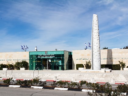
Nearby attractions include: Israel Museum, Shrine of the Book, Knesset Menorah, Bible Lands Museum.
Frequently Asked Questions (FAQ)
Which popular attractions are close to Holyland Model of Jerusalem?
Nearby attractions include Shrine of the Book, Jerusalem (2 min walk), Israel Museum, Jerusalem (3 min walk), Schottenstein campus, Jerusalem (3 min walk), Bible Lands Museum, Jerusalem (4 min walk).
How to get to Holyland Model of Jerusalem by public transport?
The nearest stations to Holyland Model of Jerusalem:
Train
Bus
Train
- Jerusalem - Yitzhak Navon (27 min walk)
Bus
- Jerusalem Central Bus Station (29 min walk)
- Hevron Road/Yanovsky • Lines: 231 (42 min walk)
