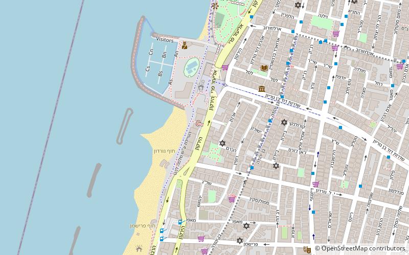
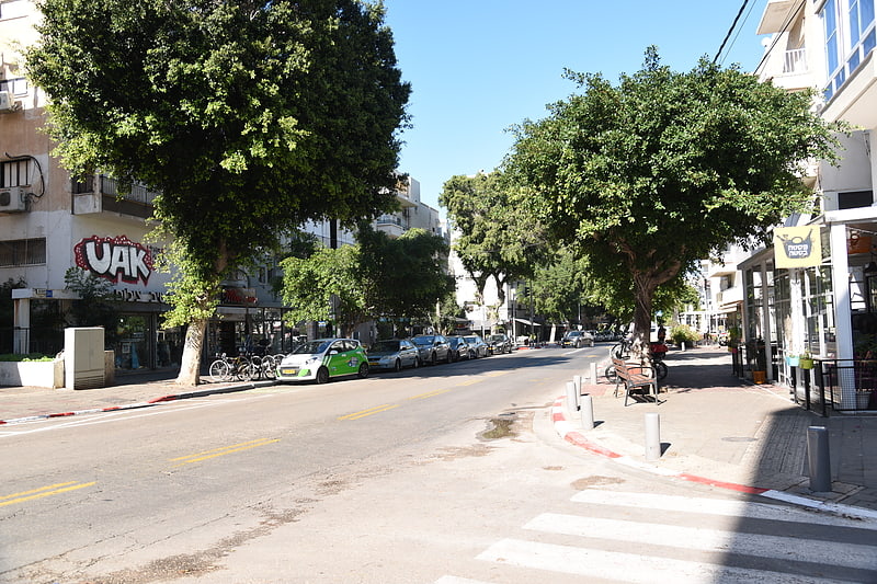
HaYarkon Street, Tel Aviv

Gallery (1)
Map
Map
Facts and practical information
Address
כיכר נמיר - מרינה - גן העצמאות (kykr nmyr - mrynh - gn hzmwt)Tel Aviv
ContactAdd
Social media
Add
Getting there by public transportation
Public transportation stops near this location
- Bus
 Bus
Bus
- Calculate routeCarmelit 30 min walk
- Calculate routeموقف الباصات جامع الحزار 31 min walk
- Calculate routeReading Terminal 31 min walk
Day trips


Frequently Asked Questions (FAQ)
Which popular attractions are close to HaYarkon Street?
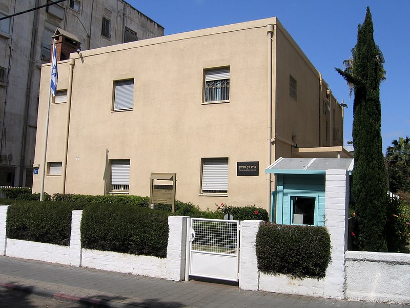
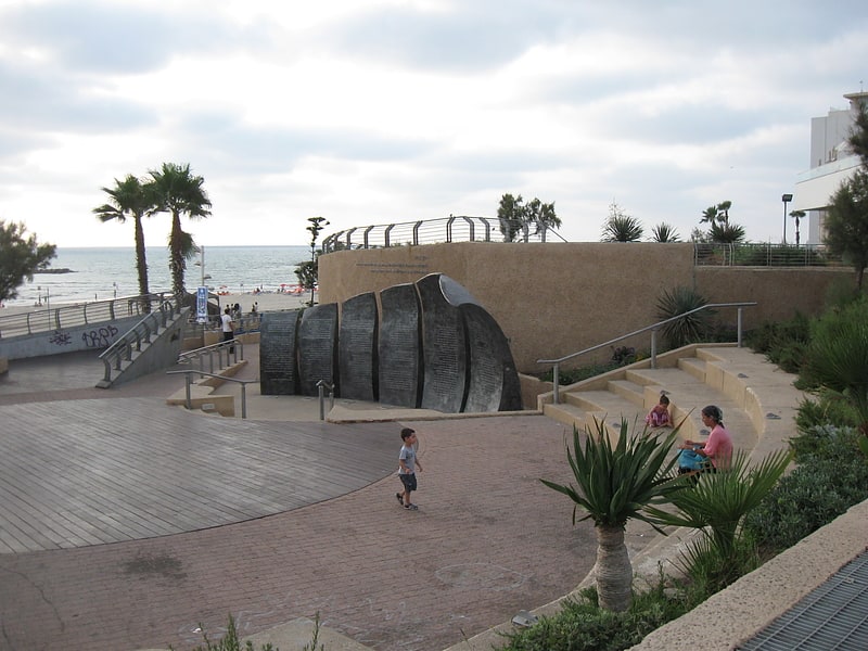
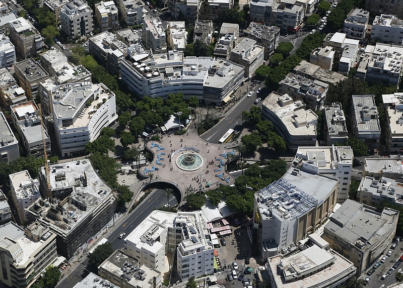
Nearby attractions include Atarim Square, Tel Aviv (3 min walk), Gordon beach, Tel Aviv (3 min walk), Ben-Gurion House, Tel Aviv (5 min walk), Maqam, Tel Aviv (7 min walk).
How to get to HaYarkon Street by public transport?
The nearest stations to HaYarkon Street:
Bus
Bus
- Carmelit (30 min walk)
- موقف الباصات جامع الحزار (31 min walk)