Beit Jala, Jerusalem
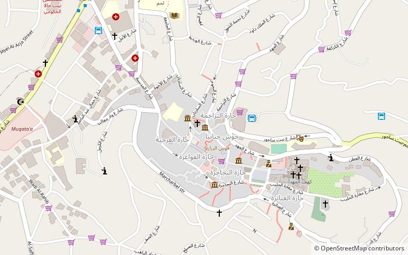
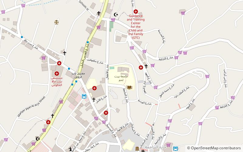
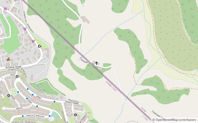
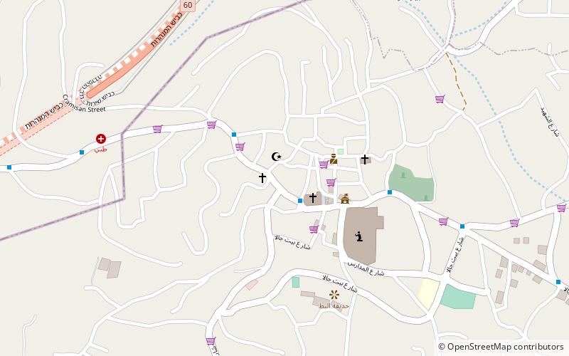
Map
Gallery
Facts and practical information
Beit Jala is a Palestinian Christian town in the Bethlehem Governorate of the West Bank. Beit Jala is located 10 km south of Jerusalem, on the western side of the Hebron road, opposite Bethlehem, at 825 meters altitude. In 2017, Beit Jala had 13,367 inhabitants according to the Palestinian Central Bureau of Statistics. About 80% of the population were Christians and about 20% Muslims. ()
Day trips
Beit Jala – popular in the area (distance from the attraction)
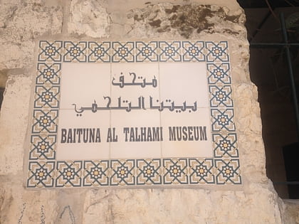
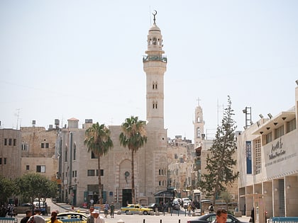
Nearby attractions include: Church of the Nativity, Rachel's Tomb, Baituna al-Talhami Museum, Mosque of Omar.
Frequently Asked Questions (FAQ)
Which popular attractions are close to Beit Jala?
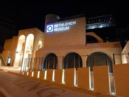
Nearby attractions include Bethlehem Museum, Bethlehem (23 min walk), Rachel's Tomb, Bethlehem (24 min walk).
How to get to Beit Jala by public transport?
The nearest stations to Beit Jala:
Bus
Bus
- Beit Jala Road Bab El-Zakak • Lines: 231 (21 min walk)
- مفرق باب زقاق (21 min walk)


