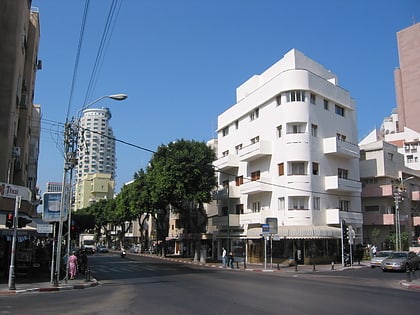
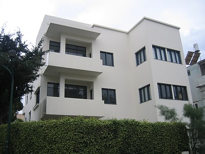
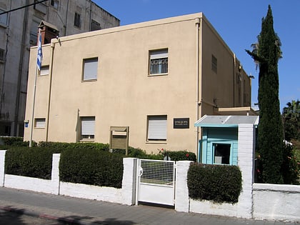
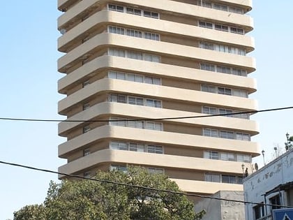
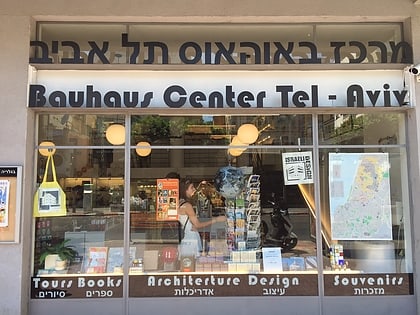
HaYarkon 96, Tel Aviv
Map

Map

Facts and practical information
Local name: הירקון 96Opened: 2012 (14 years ago)Coordinates: 32°4'44"N, 34°46'4"E
Address
הצפון הישן-הדרום מערבי (hzpwn hysn-hdrwm mrby)Tel Aviv
Contact
+972 5202410
Social media
Add
Day trips
HaYarkon 96 – popular in the area (distance from the attraction)
Nearby attractions include: Dizengoff Street, Dizengoff Center, Ben Yehuda Street, Gordon beach.
Frequently Asked Questions (FAQ)
Which popular attractions are close to HaYarkon 96?
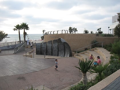
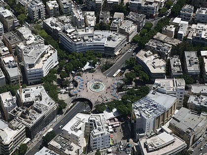
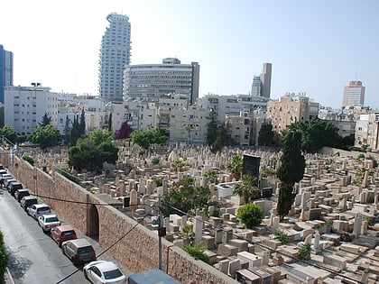
Nearby attractions include London Square, Tel Aviv (2 min walk), La Mer, Tel Aviv (4 min walk), Tel Aviv Promenade, Tel Aviv (5 min walk), Trumpeldor Cemetery, Tel Aviv (7 min walk).
How to get to HaYarkon 96 by public transport?
The nearest stations to HaYarkon 96:
Bus
Bus
- Carmelit (21 min walk)
- موقف الباصات جامع الحزار (21 min walk)


