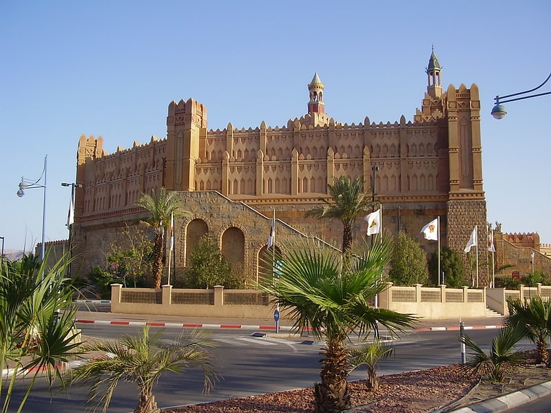
Royal Beach, Eilat
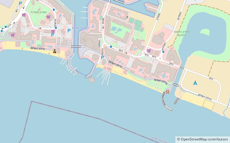
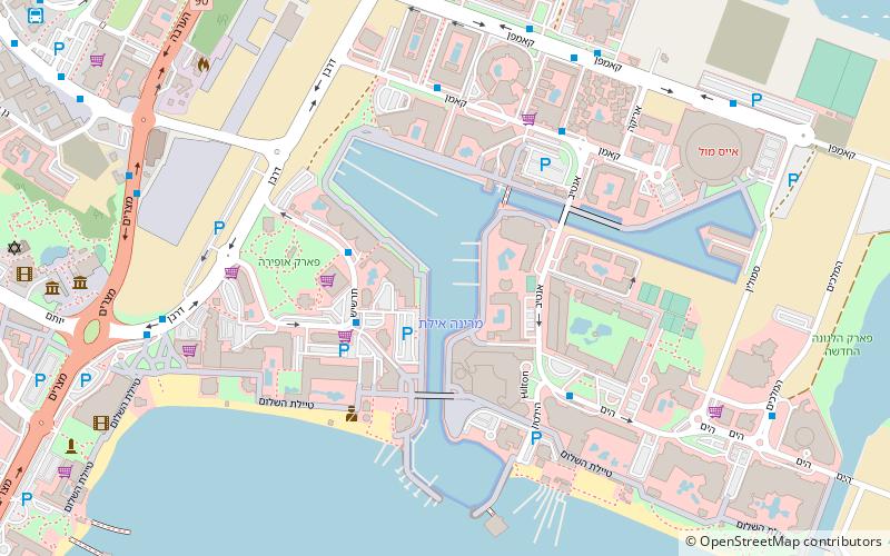
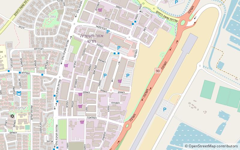
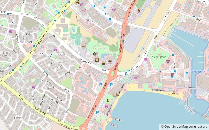
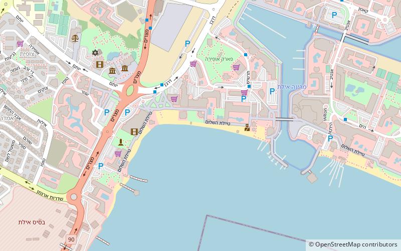
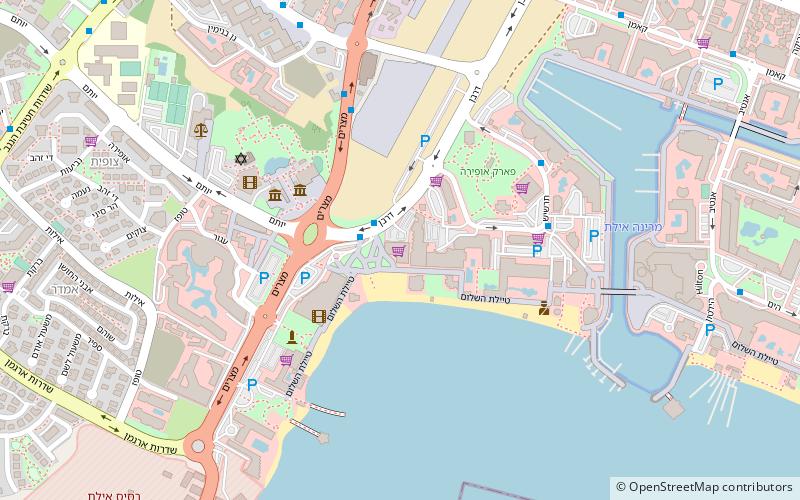
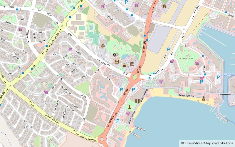
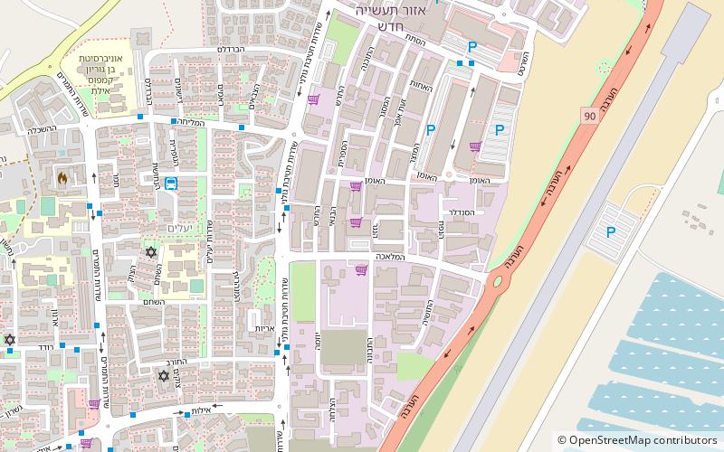
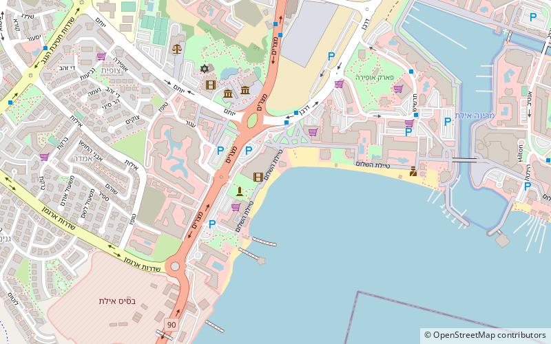
Map
Facts and practical information
Royal Beach is a place located in Eilat (HaDarom district) and belongs to the category of beach.
It is situated at an altitude of 30 feet, and its geographical coordinates are 29°32'54"N latitude and 34°57'48"E longitude.
Planning a visit to this place, one can easily and conveniently get there by public transportation. Royal Beach is a short distance from the following public transport stations: Eilat Central Bus Station (bus, 22 min walk).
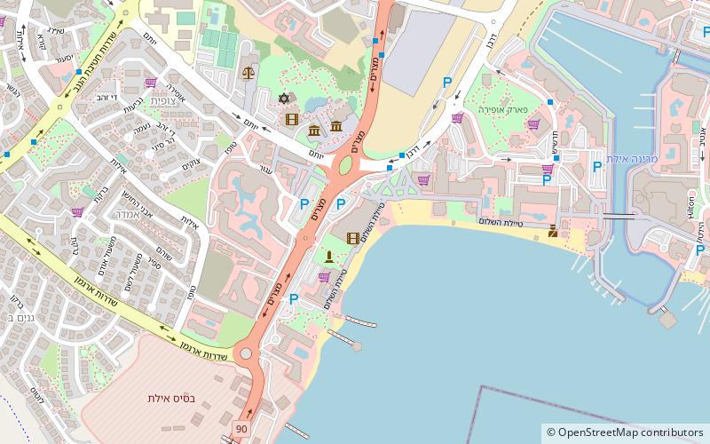
Among other places and attractions worth visiting in the area are: Golden Beach (beach, 2 min walk), Neviot Beach (beach, 2 min walk), Star Of The Sea Beach (beach, 3 min walk).
Coordinates: 29°32'54"N, 34°57'48"E
Getting there by public transportation
Public transportation stops near this location
- Bus
 Bus
Bus
- Calculate routeEilat Central Bus Station 22 min walk
- Calculate routeс 34 min walk
Day trips
Frequently Asked Questions (FAQ)
Which popular attractions are close to Royal Beach?
Nearby attractions include Golden Beach, Eilat (2 min walk), Neviot Beach, Eilat (2 min walk), Star Of The Sea Beach, Eilat (3 min walk), Edom Beach, Eilat (5 min walk).
How to get to Royal Beach by public transport?
The nearest stations to Royal Beach:
Bus
Bus
- Eilat Central Bus Station (22 min walk)
- с (34 min walk)